What is recorded here
Half-hidden in the grass of Garrycam, a forgotten circle of earth and stone waits beneath the pasture. It is not a castle or a modern toy, but an old ringfort, its entrance lost and its bank worn thin by rain and time. The fairies may have taken the story, but the ground still holds the shape of the people who lived there.
On a gentle NW-facing slope in pasture. A report in 1976 (SMR file) recorded a raised circular area (diam. c. 24m) enclosed by a much-denuded low bank of earth and stone with an external fosse. The original entrance was not recognisable. The monument is not visible at ground level.
Compiled by: Patrick F. O'Donovan
Date of upload: 26 August 2011
The monument record does not grant public access. Check the route and ask the landowner before entering private land.
- What survives
- Recorded monument
Places near here
 Fulacht fia in Lisduff (montgomery)Fulacht fia · 536 yd
 IndicatedFairy fort / earthen ringfort · 707 yd
 Druming Ho. (in ruins)Castle, unclassified · 1.0 mi
 National Famine WayWalking route · 1.4 mi
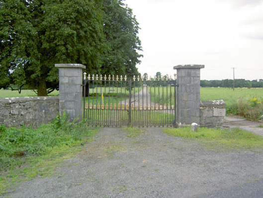 Richfortgates/railings/walls · 1.4 mi
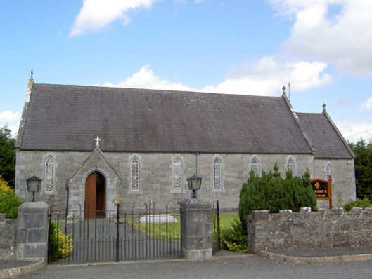 Saint Anne's Catholic Churchchurch/chapel · 1.4 mi
 Bawn in CastlereaBawn · 1.5 mi
 Graveyard in Curry (ardagh By., Coolamber Ed)Graveyard · 4.2 mi
 First World War MemorialMemorial · 5.2 mi
 Saint Mel's CathedralCathedral · 5.3 mi
 Corlea Bog Walk Canal BranchWalking route · 5.6 mi
 Corlea Trackway Interpretative CentreHeritage attraction · 5.8 mi