What is recorded here
Fairy fort / earthen ringfort in Garraun (Ballysheehan parish) is a fairy fort or earthen ringfort in Garraun (Ballysheehan parish), County Tipperary, Ireland. It occupies slightly raised flat grassland in an upland area with good views in all directions. A circular earth and stone bank enclosed the site, though ploughing since 2004 has levelled the bank and removed much of its former shape.
On flat grassland in upland area with good views in all directions. Motte and bailey (TS053-075----) 150m to W and ringfort (TS053-076----) is 150m to SW. Slightly raised circular area (int. diam. 30m N-S; 29m E-W) enclosed by an earth and stone bank (top Wth 3m; base Wth 5m; ext. H 1.2m; int. H 0.2-0.4m) with traces of an outer fosse (base Wth 2.7m; top 4.7m Wth; ext. D 0.2m) at N and S only. Bank destroyed along E quadrant of ringfort for a distance of approx. 16m, possibly where entrance feature was located. Since the monument was visited in 2004, the field in which the monument stands, and the monument itself, have been ploughed, levelling the bank.
Compiled by: Jean Farrelly
Date of upload: 06 August 2013
The monument record does not grant public access. Check the route and ask the landowner before entering private land.
- What survives
- Recorded monument
Places near here
 Castle in RuinsCastle, motte and bailey · 220 yd
 RathcloghFairy fort / earthen ringfort · 255 yd
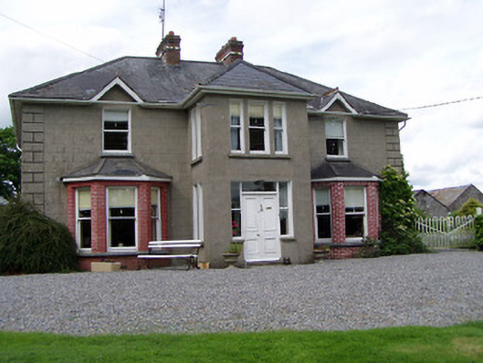 Rathmorehouse · 868 yd
 Kill Church (in ruins)Church · 1029 yd
 The GarrisonCastle, tower house · 1253 yd
 RaheenFairy fort / earthen ringfort · 1582 yd
 Ballinure HillMountain / peak · 1.2 mi
 Taylor's WoodWood · 1.3 mi
 Noan WoodWood · 2.1 mi
 Ballyknock HillMountain / peak · 2.9 mi
 The Rock Of CashelVisitor information · 4.1 mi
 Cashel Folk MusuemMuseum · 4.1 mi