What is recorded here
Situated in improved pasture to E and scrub to W. Depicted on the revised 1910 ed. OS 25-inch map as an oval-shaped earthwork (approx. dims. 63m N-S; 53m E-W) defined by a scarp, the interior is bisected by a townland boundary running N-S. Monument is visible today as an oval-shaped tree-lined earthwork on Digital Globe aerial photography.
Compiled by Alison McQueen, Vera Rahilly and Caimin O’Brien.
Date of upload: 13 November 2019
The monument record does not grant public access. Check the route and ask the landowner before entering private land.
- What survives
- Recorded monument
Places near here
 OutlinedFairy fort / earthen ringfort · 556 yd
 Rockfield Househouse · 868 yd
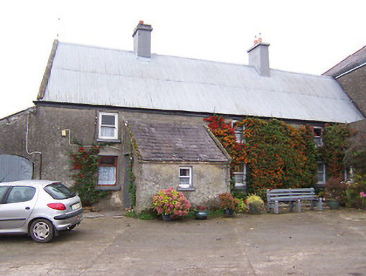 Garhy Lodgehouse · 1036 yd
 IndicatedEnclosure · 1127 yd
 CastleCastle, unclassified · 1155 yd
 Adamstown Castle (in Ruins)Castle, tower house · 1.8 mi
 Sam's ParkForest · 2.6 mi
 Japanese pagoda treeJapanese pagoda tree · 4.0 mi
 Kilmalady HillMountain / peak · 4.9 mi
 Charles BianconiMemorial · 8.0 mi
 The Bob Traynor GalleryGallery · 8.1 mi
 Dún na Sí Heritage CentreMuseum · 8.4 mi