What is recorded here
Fairy forts are not a separate kind of monument. They are ordinary ringforts, often small and rural, that later became linked in local memory to fairies because they were no longer fully understood. That is what happened at Friarstown. The earthworks are still visible, but human use faded and wonder moved in to fill the vacancy.
Situated on a gentle NE-facing slope in rolling pasture, with good views to E and W. The monument consiste of an oval area (36m E-W; 32m N-S) enclosed by two concentric earth-and-stone banks with an intervening fosse. The internal bank (ext. H 0.7m; Wth 2.4m; int. H 0.3m) is evident all round, and has been incorporated into the local field boundary from NW to NE. The fosse (Wth 2m) is evident from ENE to WSW. The external bank (int. H 0.25m; Wth 2m; ext. H 0.1m) is less well defined than the internal bank, and is most evident from ENE to WNW. The interior surface is gently undulating and poached by cattle.
Compiled by: Denis Power
Date of upload: 26 April 2013
The monument record does not grant public access. Check the route and ask the landowner before entering private land.
- What survives
- Recorded monument
Places near here
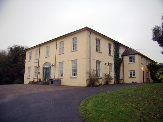 Friarstown Housecountry house · 108 yd
 CastleCastle, ringwork · 449 yd
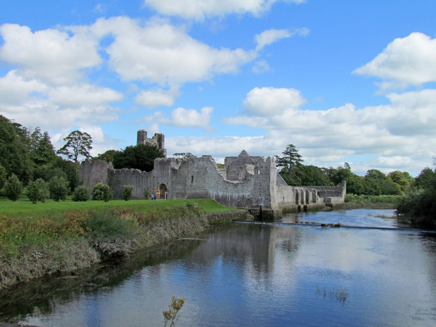 Man-made underground passage in Friarstown (clanwilliam By., Roxborough Ed)Man-made underground passage · 453 yd
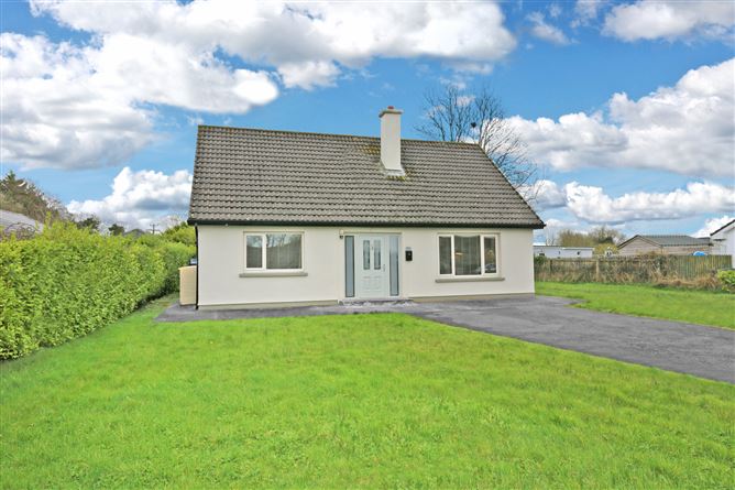 Enclosure in Parkroe (clanwilliam By.)Enclosure · 477 yd
 Friary (in ruins)Religious house, Franciscan Third Order Regular · 558 yd
 Bawn in Raheen (clanwilliam By., Roxborough Ed)Bawn · 1440 yd
 ToberauillinSpring · 2.0 mi
 Carnane RockNamed rock · 2.1 mi
 Villiers WellSpring · 2.1 mi
 Graveyard in AbingtonGraveyard · 8.5 mi
 Quarry in Friarstown NorthQuarry · 599 yd
 RoadRoad, road/trackway · 647 yd