What is recorded here
Fairy fort in Drombanny, County Limerick: a 35-metre earthen ring on a NE-facing pasture slope, hidden under scrub, with a broken northern bank and a shallow ditch outside. People may have lived there, or kept stock, or simply marked the edge of a field they trusted. The fairies, according to local story, took the fort back when the humans stopped remembering it.
Situated on a NE-facing slope, in gently rolling pasture. The monument is heavily masked by dense scrub vegetation. It comprises a sub-circular area (diam. c. 35m NW-SE by c. 30m NE-SW) defined by a scarped edge (H 1.6m) from NNE to ESE and enclosed by a bank (int. H 0.6m; ext. H 1.9m; Wth 2.3m) elsewhere, and with an external fosse all around. There is a break in the bank at N (Wth 3.1m). The interior slopes down gently to the S.
Compiled by: Denis Power
Date of upload: 28 March 2013
The monument record does not grant public access. Check the route and ask the landowner before entering private land.
- What survives
- Recorded monument
Places near here
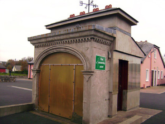 Drombanny Creamerycreamery · 838 yd
 Grave Yard.Graveyard · 1013 yd
 Donaghmore Church (in ruins)Church · 1013 yd
 Browns StoneBurial ground · 1218 yd
 Castle (in ruins)Castle, tower house · 1.1 mi
 Tooreen Castle (in ruins)Castle, tower house · 1.2 mi
 Campus MapVisitor information · 2.9 mi
 Visitor CentreVisitor information · 2.9 mi
 Fountain SculptureHeritage attraction · 2.9 mi
 Graveyard in AbingtonGraveyard · 6.4 mi
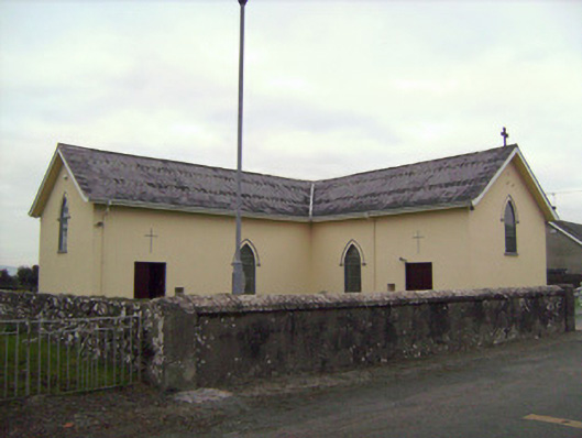 Saint Patrick's Catholic Churchchurch/chapel · 1106 yd
 presbytery/parochial/curate's housepresbytery/parochial/curate's house · 1195 yd