What is recorded here
Clear water in the basin, not dead water. The basin is a made thing: a round chamber with a wall, a floor, a roof and a door. People understood that, built it and used it. The claimant must identify those parts and explain how they worked together.
In pasture, atop rise. Circular area (diam. c. 38m) enclosed by heavily overgrown earthen bank (int. H 0.7m; ext. H 0.85m); external fosse (D 1.1m). Interior heavily overgrown; reeds in E half. According to Bowman (1934, 339), fort in E. Bolster's 'is oval-shaped and is double-ramparted...the outer rampart has been levelled'. Depicted as bivallate enclosure on 1842 OS 6-inch map.
The above description is derived from the published 'Archaeological Inventory of County Cork. Volume 4: North Cork' (Dublin: Stationery Office, 2000). In certain instances the entries have been revised and updated in the light of recent research.
Date of upload/revision: 14 January 2009
The monument record does not grant public access. Check the route and ask the landowner before entering private land.
- What survives
- Recorded monument
Places near here
 Castlepark Housecountry house · 755 yd
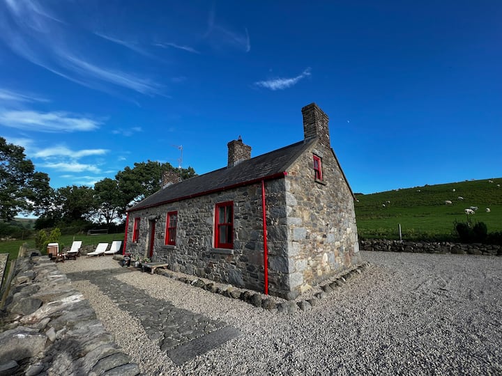 Fairyhill HouseCountry house · 839 yd
 Burial ground in GarraveasogeBurial ground · 1011 yd
 Kanturk CastleHeritage attraction · 1211 yd
 CastleCastle, unclassified · 1296 yd
 Fulacht fia in Kilcolman (duhallow By., Dromtarriff Par.)Fulacht fia · 1531 yd
 Hanna SheehyMemorial · 1.4 mi
 St Fursey's WellSpring · 2.4 mi
 Clonmeen Court (Site of)House, fortified house · 2.4 mi
 Burial ground in AssolasBurial ground · 3.2 mi
 European YewEuropean Yew · 3.4 mi
 Mount Hillary - Knightfield LoopWalking route · 3.8 mi