What is recorded here
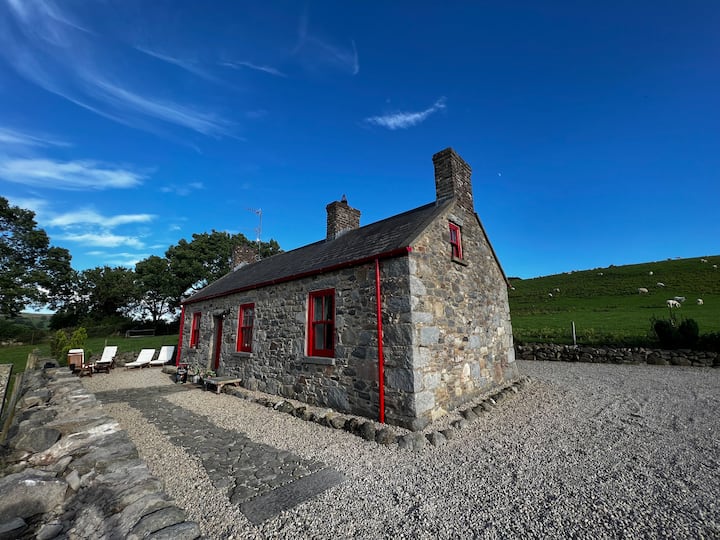
Abandoned 2-storey rectangular house of early 19th-century appearance. Indicated as 'Fairy Hill' on 1842 OS 6-inch map. Entrance front (SE) of 3 bays, central rectangular door ope with rectangular light, plate glass sash windows, ground-floor opes are slightly out of line with 1st-floor window opes and have limestone sills, 1st-floor sills of cement. No windows on side elevations. Gable-ended slate roof with decorated barge boards on gable ends, coursed ashlar chimneys atop gables. One-storey gabled addition to rear on NE side. Disused ranges of 1- and 2-storey farm buildings around courtyard to rear.
The above description is derived from the published 'Archaeological Inventory of County Cork. Volume 4: North Cork' (Dublin: Stationery Office, 2000). In certain instances the entries have been revised and updated in the light of recent research.
Date of upload/revision: 14 January 2009
The monument record does not grant public access. Check the route and ask the landowner before entering private land.
- What survives
- Recorded monument
Places near here
 Burial ground in GarraveasogeBurial ground · 236 yd
 CastleCastle, unclassified · 909 yd
 IndicatededKiln, lime · 1176 yd
 Fulacht fia in Kilcolman (duhallow By., Dromtarriff Par.)Fulacht fia · 1227 yd
 Castlepark Housecountry house · 1412 yd
 Kanturk CastleHeritage attraction · 1.1 mi
 Hanna SheehyMemorial · 1.7 mi
 Castle (Site of)Bawn · 2.6 mi
 St Fursey's WellSpring · 2.7 mi
 Battle of Knocknaclashybattle · 3.6 mi
 Burial ground in AssolasBurial ground · 3.7 mi
 European YewEuropean Yew · 3.9 mi
Other information
Photo: Credit not shown in the picture search · Rights wording not checked; contact us if this picture should be removed