
What is recorded here
Garraveasoge holds a rectangular burial ground where famine victims died in 1847 and 1848. A memorial cross stands inside the roadside bank, marking bodies dumped during the collapse. The dense vegetation and low earthen bank hide the scale of that loss, forcing visitors to imagine the weight of each unseen grave.
Not shown on 1842 OS 6-inch map; shown on 1904 and 1938 OS 6-inch maps as rectangular field planted with trees. On S side of road. Rectangular area (c. 70m N-S; 18m E-W) enclosed by earthen bank (H 0.4m). Interior densely overgrown; memorial cross inside roadside bank, to famine victims buried there (1847-1848). According to Bowman (1934, 338), site of burial ground and church (14481) of penal times, used as auxiliary burial ground to Kanturk workhouse.
The above description is derived from the published 'Archaeological Inventory of County Cork. Volume 4: North Cork' (Dublin: Stationery Office, 2000). In certain instances the entries have been revised and updated in the light of recent research.
Date of upload/revision: 14 January 2009
The monument record does not grant public access. Check the route and ask the landowner before entering private land.
- What survives
- Recorded monument
Places near here
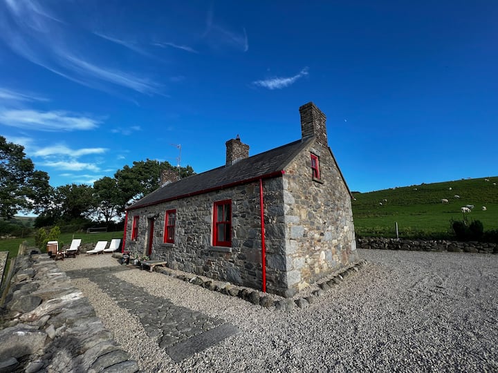 Fairyhill HouseCountry house · 236 yd
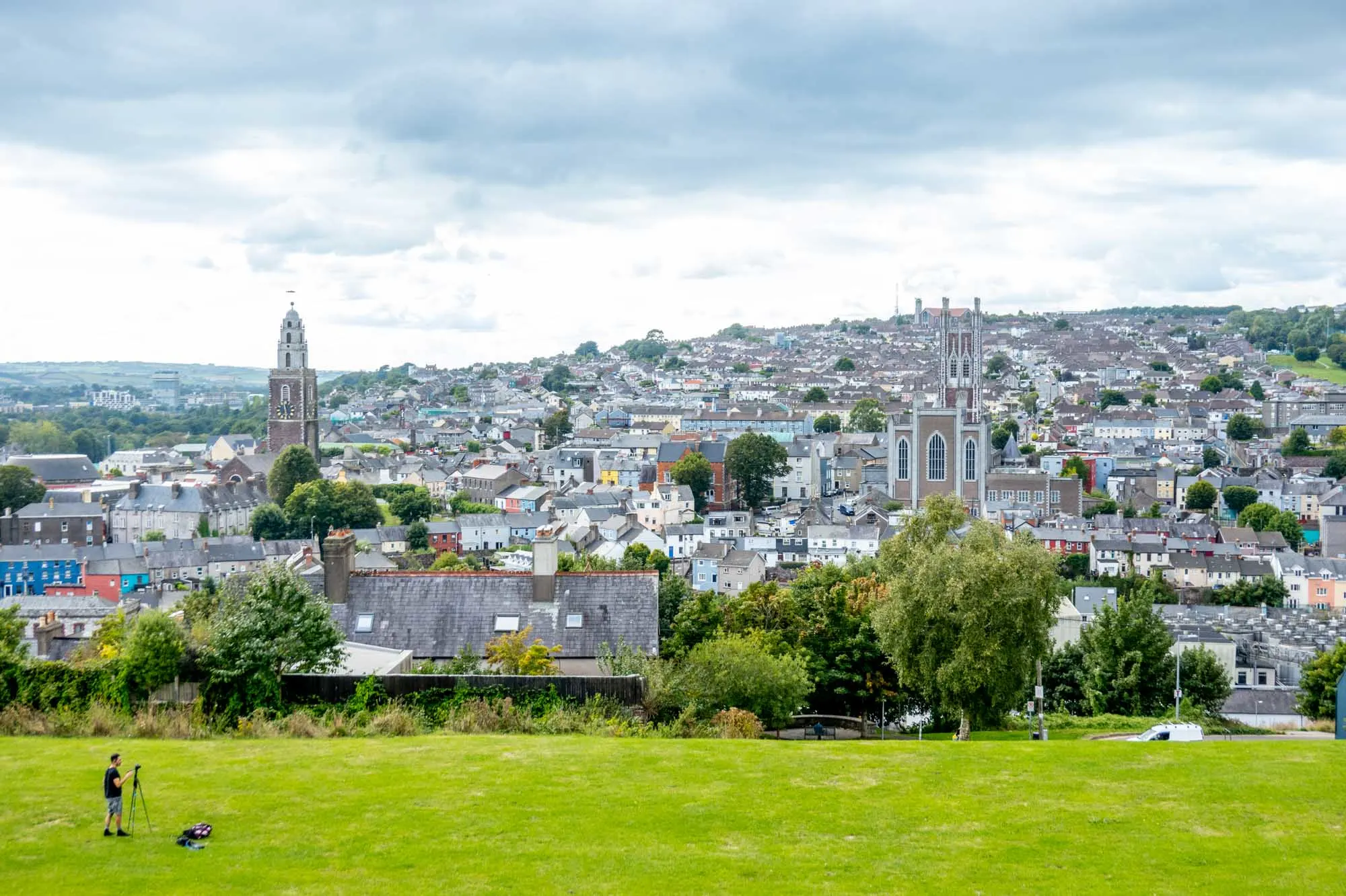 IndicatededKiln, lime · 945 yd
 CastleCastle, unclassified · 1083 yd
 Fulacht fia in Killeenleagh (duhallow By.)Fulacht fia · 1178 yd
 Fulacht fia in Kilcolman (duhallow By., Dromtarriff Par.)Fulacht fia · 1403 yd
 Kanturk CastleHeritage attraction · 1.2 mi
 Hanna SheehyMemorial · 1.6 mi
 Castle (Site of)Bawn · 2.6 mi
 St Fursey's WellSpring · 2.9 mi
 Battle of Knocknaclashybattle · 3.6 mi
 Burial ground in AssolasBurial ground · 3.7 mi
 European YewEuropean Yew · 4.0 mi
Other information
Photo: Credit not shown in the picture search · Rights wording not checked; contact us if this picture should be removed