What is recorded here
Situated on a slight rise, in gently undulating pasture, with extensive views to NNW, otherwise restricted to N and S. Annotated ‘Fort’ on the 1837 OS Fair Plan map. Depicted on the revised 1913 ed. OS 25-inch map as a suboval-shaped earthwork. Monument described in 1970 as a small sub-circular shaped area (dims. 29.5m NNE-SSW; 27.4m E-W) enclosed by a bank and fosse. The bank is best preserved from SW-W, N-ENE, where it is steep on the exterior and has almost been reduced to a scarp on the interior. The exterior of the bank has been disturbed by modern quarrying from ESE-SE-S. A gap (Wth at top 4.5m; basal Wth 1.7m) in the bank with the remains of a ramp (Wth at top 2.3m; overall Wth 4.2m; H 0.55m) across the fosse at E probably represents a causewayed entrance. The perimeter has several other slight disturbance gaps. Traces of a fosse are evident from NNE-NE-ENE. The interior rises gently from the perimeter toward the centre and has humps, hollows and rock outcrop in places. Two ESB poles stand outside the bank at W. Monument described in 1972 as having been quarried away from E-S. Monument is visible today as an oval-shaped earthwork on Digital Globe aerial photography.
Compiled by: Alison McQueen, Vera Rahilly and Caimin O’Brien
Date of upload: 04 July 2019
The monument record does not grant public access. Check the route and ask the landowner before entering private land.
- What survives
- Recorded monument
Places near here
 Corbally Burial GroundChurch · 263 yd
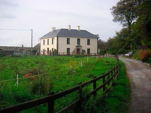 Millarstown Househouse · 524 yd
 Edmondstown Castle (in Ruins)Castle, tower house · 652 yd
 Partially hachuredFairy fort / earthen ringfort · 1321 yd
 CastleCastle, motte · 1415 yd
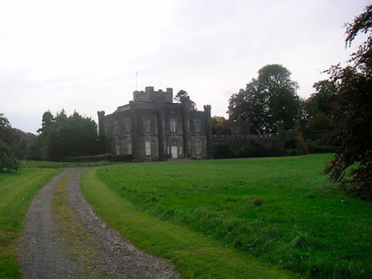 Lisnabin Castlecountry house · 1.0 mi
 GinkgoGinkgo · 2.3 mi
 ScregganWood · 5.2 mi
 Croppies' GraveMemorial · 9.5 mi
 Tober LastraghHoly well · 1330 yd
 St. Columbkilles WellHoly well · 1.0 mi
 Man-made underground passage in Higginstown (farbill By.)Man-made underground passage · 1.1 mi