What is recorded here
Marianne, a young mother of two small children, lived inside the ancient fort. She had no choice but to believe the warnings of the older women, who claimed the fairies still owned the land. One stormy night, Marianne's children vanished from their beds. She ran barefoot through the rain, calling their names until she found them sitting calmly beside the fort's entrance. They smiled and said a beautiful woman had invited them to dance. Marianne never forgot that the fort belonged to someone else, and she taught her children to respect the unseen neighbours who still walked the earth.
On a very gentle S-facing slope in low-lying pasture. This raised circular area (diam. c. 27m) is defined by a scarp (H 0.8m) and an external fosse (Wth 2m; D 0.5m). An outer bank noted from N-NE-E in 1976 (SMR file) is no longer visible. The original entrance is not recognisable. Adjoining the rath at SSE is a rectangular annexe (c. 25m ENE-WSW; c. 20m NNW-SSE) defined by a low scarp (H 0.1-0.3m) with a very narrow shallow external fosse (Wth 1.1m; D 0.1m).
Compiled by: Patrick F. O'Donovan
Date of upload: 30 November 2011
The monument record does not grant public access. Check the route and ask the landowner before entering private land.
- What survives
- Recorded monument
Places near here
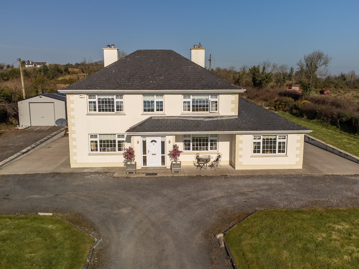 IndicatedFairy fort / earthen ringfort · 820 yd
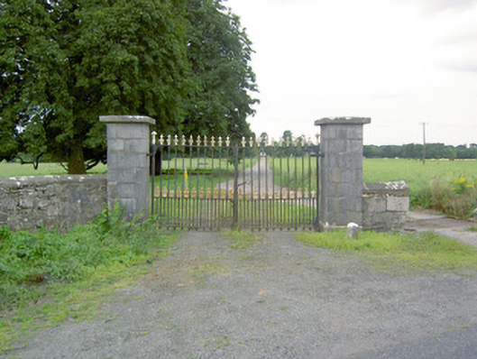 Richfortgates/railings/walls · 851 yd
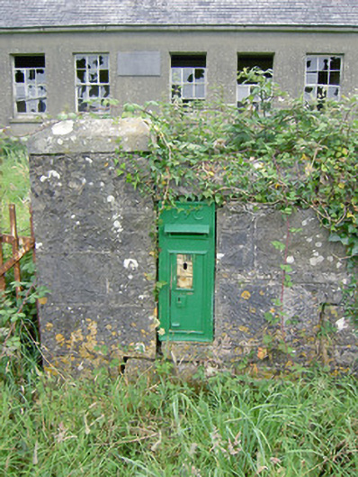 post boxpost box · 912 yd
 Fulacht fia in Lisduff (montgomery)Fulacht fia · 1.1 mi
 Oldtown CopseWood · 1.6 mi
 Oldtown DemesneForest · 1.7 mi
 Bawn Castle & NunneryHouse, fortified house · 1.7 mi
 Druming Ho. (in ruins)Castle, unclassified · 1.7 mi
 National Famine WayWalking route · 2.1 mi
 Graveyard in Curry (ardagh By., Coolamber Ed)Graveyard · 4.0 mi
 First World War MemorialMemorial · 4.4 mi
 Saint Mel's CathedralCathedral · 4.4 mi