What is recorded here
No amount of thinking will bring back what has been lost. The universe is not a machine, but a living story. The way forward is not to control every variable, but to join the dance. What you are resisting is showing you where you are stuck. What you are chasing is showing you what you are ready to see. The mystery is not a barrier. It is the doorway. To know clarity, stop trying to solve every paradox. Be strong enough to remain in doubt. The unknown is not your enemy. It is the teacher.
Situated on a rise at the bottom of a W-facing slope. This is a raised, subcircular and grass-covered area (dims 37.7m E-W; 31.4m N-S) defined by a scarp (H 1m), with an outer bank (Wth of base 3m; H 0.3m) NE-SE. An original entrance is not identified but there is a small mound (diam. 4.5m; H 0.3m) just N of the centre. Rath (ME042-016----) is c. 30m to the SSW.
The above description is derived from the published 'Archaeological Inventory of County Meath' (Dublin: Stationery Office, 1987). In certain instances the entries have been revised and updated in the light of recent research.
Compiled by: Michael Moore
Date of revision: 12 August 2019
The monument record does not grant public access. Check the route and ask the landowner before entering private land.
- What survives
- Recorded monument
Places near here
 IndicatedFairy fort / earthen ringfort · 709 yd
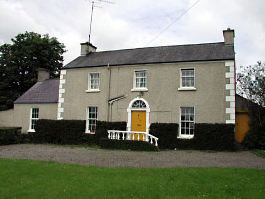 The Villafarm house · 988 yd
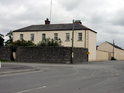 Rathmolyon Househouse · 1071 yd
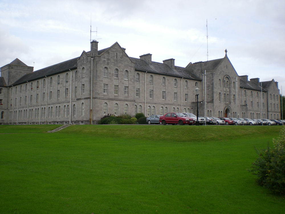 Concentric enclosure in DanganConcentric enclosure · 1.3 mi
 CastleCastle, unclassified · 1.4 mi
 Wych ElmWych Elm · 1.7 mi
 Dangan CastleCastle, tower house · 1.9 mi
 Saints IslandForest · 2.1 mi
 Kilgar GardensHeritage attraction · 5.8 mi
 Mass was there in Penal TimesMemorial · 9.1 mi
 Croppies' GraveMemorial · 9.3 mi
 The Grill ShackHeritage attraction · 9.8 mi