
What is recorded here
Castletown Castle stood as two three-storey towers joined by a wing when the Down Survey mapped it in 1656. Dr. Bramhall, Bishop of Derry and a Protestant Delinquent, owned the land and structure during the turmoil of the 1640s. Only quarry walls and a lime-kiln remain near the rock outcrop now, yet the drawing preserves a bold shape that resisted forgetting.
A castle at Castletown (24) in Rathmoline parish and Moyfenrah barony is depicted on the Down Survey (1656-8) barony and parish maps as an elaborate structure consisting of two three storey towers connected by a wing (http://downsurvey.tcd.ie/). According to the Civil Survey (1654-6) Dr. Bramhall, who is described as ‘Bishop of Derry, Protestant Delinquent’ owned 500 acres there in 1640 including a castle (Simington 1940, 177). In fact the bishop owned all the land in the parish, apart from about 800 acres (ibid. 176-80). The monument, which looks from its representation like a seventeenth century house, is not indicated on any ed. of the OS 6-inch map, but it is marked as a ruin on MS map 21 F 15 (35) in NLI. Two walls built against rock outcrop survive, but these are likely to relate to quarrying and a lime-kiln that was in the vicinity.
The above description is derived from the published 'Archaeological Inventory of County Meath' (Dublin: Stationery Office, 1987). In certain instances the entries have been revised and updated in the light of recent research.
Compiled by: Michael Moore
Date of revision: 9 June 2016
The castle at Castletown in Moyfenrath Lower was likely built by a local Gaelic or Anglo-Irish lord in the 17th century, as indicated by its depiction on the Down Survey maps. It is remembered for its elaborate design, featuring two three-storey towers connected by a wing, reflecting the architectural sophistication of early modern Irish castles.
The monument record does not grant public access. Check the route and ask the landowner before entering private land.
- What survives
- Recorded monument
Places near here
 Enclosure in Castletown (moyfenrath Lower By.)Enclosure · 139 yd
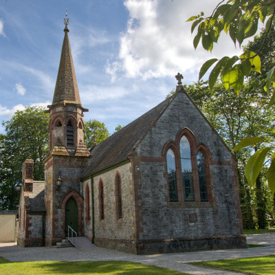 Church in BrannockstownChurch · 1.0 mi
 Enclosure in CarberrystownEnclosure · 1.2 mi
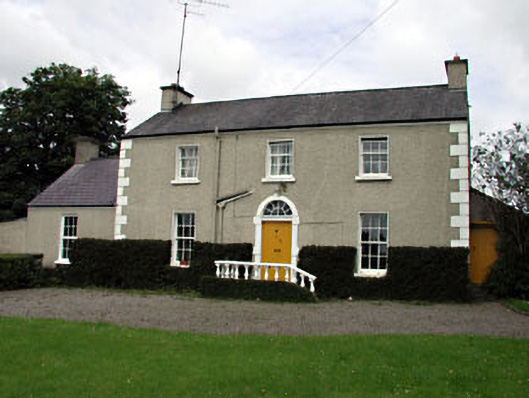 The Villafarm house · 1.3 mi
 Wych ElmWych Elm · 2.3 mi
 Dangan CastleCastle, tower house · 2.9 mi
 Saints IslandForest · 3.1 mi
 Trim CastleCastle, Anglo-Norman masonry castle · 3.6 mi
 Croppies' GraveMemorial · 8.6 mi
 Mass was there in Penal TimesMemorial · 10 mi
 Amicus AmericanisMemorial · 13 mi
 Library GardenHeritage attraction · 13 mi
Other information
Photo: Credit not shown in the picture search · Rights wording not checked; contact us if this picture should be removed