
What is recorded here
Castletown: Enclosure: Situated in an undulating landscape. A large rectangular enclosure (dims c. 50m NE-SW; c. 50m NW-SE) is visible on aerial photographs (ACAP: V306/19) from the 1940s and (GSIAP: N 301/302) from the 1970s. It appears to have been defined by earthen banks and external fosses. Cropmarks of ditches can be seen on OSAP (1995), and it may be a large field.
The above description is derived from the published 'Archaeological Inventory of County Meath' (Dublin: Stationery Office, 1987). In certain instances the entries have been revised and updated in the light of recent research.
Compiled by: Michael Moore
Date of revision: 9 August 2019
The monument record does not grant public access. Check the route and ask the landowner before entering private land.
- What survives
- Recorded monument
Places near here
 CastleCastle, unclassified · 139 yd
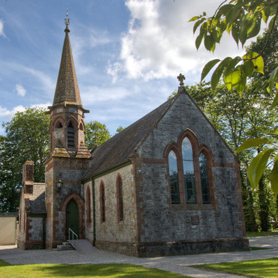 Church in BrannockstownChurch · 1.1 mi
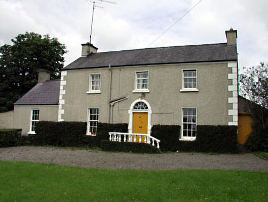 The Villafarm house · 1.3 mi
 Enclosure in CarberrystownEnclosure · 1.3 mi
 Enclosure in DerrinydalyEnclosure · 1.4 mi
 Wych ElmWych Elm · 2.3 mi
 Dangan CastleCastle, tower house · 2.9 mi
 Saints IslandForest · 3.1 mi
 Croppies' GraveMemorial · 8.6 mi
 Mass was there in Penal TimesMemorial · 10 mi
 Amicus AmericanisMemorial · 12 mi
 Library GardenHeritage attraction · 13 mi
Other information
Photo: Credit not shown in the picture search · Rights wording not checked; contact us if this picture should be removed