
What is recorded here
Situated on a slight rise on the N bank of the River Boyne which is c. 40m distant at a point where the stream changes from a W-E to a S-N course. This is depicted as a rectangular hachured feature only on the 1912 edition of the OS 6-inch map. It is a rectangular grass-covered area (dims 59m NE-SW; 34m NW-SE) defined by low earthen banks (Wth of base 4-4.4m; int. H 0.4m; ext. H 0.9-1.2m) and outer rounded fosses (Wth of base 1m; ext. D 0.3-0.4m) with trees on most of the banks. The entrance is by a causeway towards the N end of the NW side. There are two rectangular house-sites adjacent to each other and only 1m apart in the interior, with the doorways facing towards each other. The SE house (ext. dims 10m NE-SW; c. 7m NW-SE) which abuts onto the bank at SE is defined by low earthen banks (Wth 3m; H 0.3m) and has a doorway (Wth 0.5m) at the centre of the NW side. The NW house (ext. dims 13m NE-SW; 9m NW-SE) is at the centre of the interior and is defined by low earthen banks (Wth 3-4.5m) has a doorway (Wth 0.5m) at the centre of the SE side facing that of the SE house.
The above description is derived from the published 'Archaeological Inventory of County Meath' (Dublin: Stationery Office, 1987). In certain instances the entries have been revised and updated in the light of recent research.
Compiled by: Michael Moore
Date of revision: 5 July 2019
Amended: 24 March 2023
A local fairy fort (ringfort/rath); wider significance not recorded.
The monument record does not grant public access. Check the route and ask the landowner before entering private land.
- What survives
- Recorded monument
Places near here
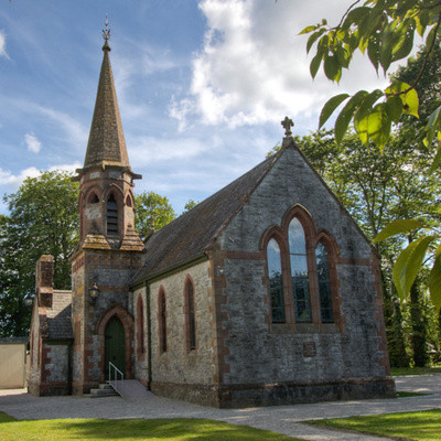 Church in BrannockstownChurch · 955 yd
 CastleCastle, motte · 1384 yd
 IndicatedChurch · 1399 yd
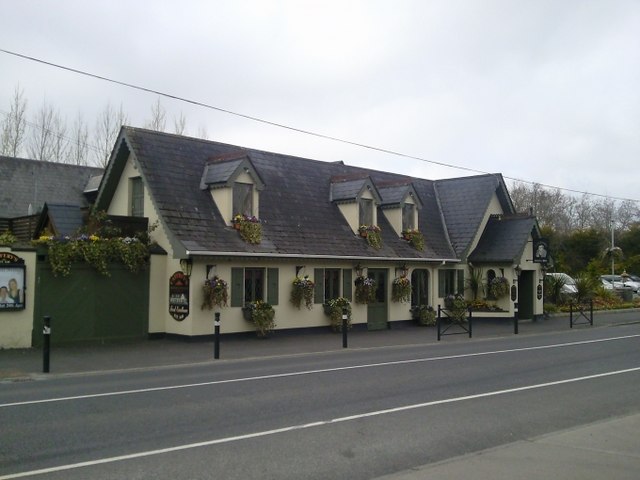 Enclosure in Batterstown (moyfenrath Lower By.)Enclosure · 1747 yd
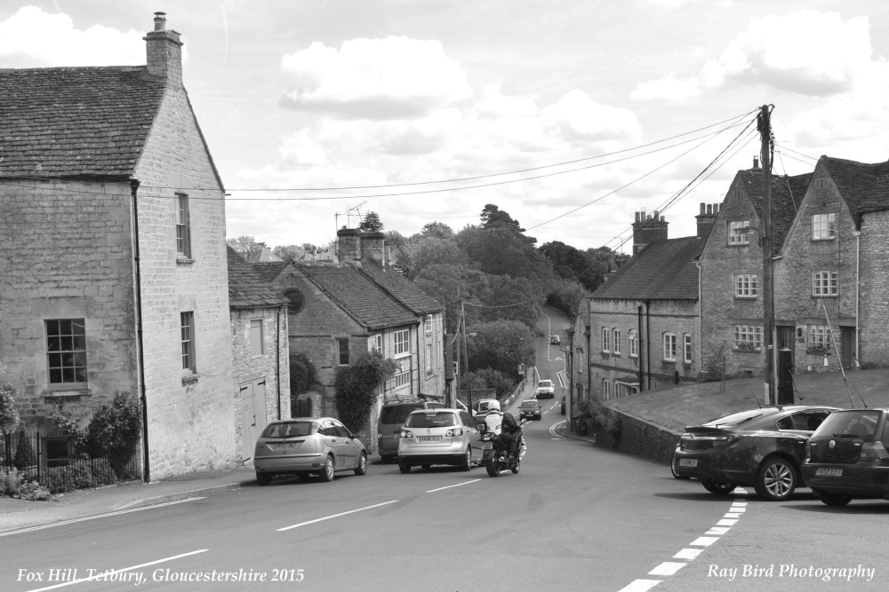 Fox HillEnclosure · 1.1 mi
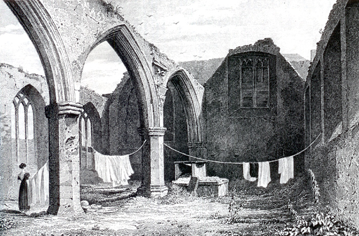 Portlester Ho.Castle, unclassified · 3.4 mi
 Wych ElmWych Elm · 3.6 mi
 Common LimeCommon Lime · 4.0 mi
 Cloncurry GraveyardHeritage attraction · 7.5 mi
 Old Bog Road made famous by Teresa Bryton 1868-1943Memorial · 7.7 mi
 Croppies' GraveMemorial · 8.3 mi
 Kilgar GardensHeritage attraction · 8.5 mi
Other information
Photo: Credit not shown in the picture search · Rights wording not checked; contact us if this picture should be removed