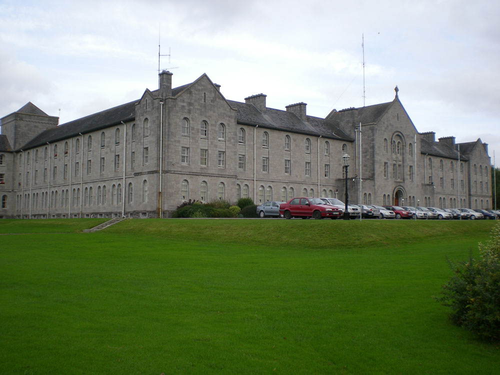
What is recorded here
Situated on a short NE-SW section (H c. 4-5m) of an esker ridge that is generally running NW-SE. This is undoubtedly the stronghold implied in the townland name Dangan. It is a grass-covered oval area (dims of top c. 35m ENE-WSW; c. 23m NW-SE) defined by a fosse (Wth of top 4.7m; int. D 1m; ext. D 0.5m) and outer bank (Wth of base 3m; ext. H 1m) across the ridge S-W but the bank is largely reduced to a scarp (at ENE: Wth 3.5m; H 1m) and the fosse to a berm (at ENE: Wth 2m). There is an entrance ramp (Wth of base 5m) at NE, and there is a small mound (diam. of base 2m; H 0.2m) in the interior towards the SW edge. At the bottom of the ridge is a second scarp (at ENE: Wth 3m; H 1.4m; at WSW: Wth 2.6m; H 1.7m) which is only missing SW-NW, and an external fosse largely reduced to a berm (at ENE: Wth 1.5m) NW-E-SE. There is an entrance (Wth of base 3m) through the lower scarp and a causeway (Wth of top 3.2m; H 0.4m) at NE.
The above description is derived from the published 'Archaeological Inventory of County Meath' (Dublin: Stationery Office, 1987). In certain instances the entries have been revised and updated in the light of recent research.
Compiled by: Michael Moore
Date of revision: 9 August 2019
A local fairy fort (ringfort/rath); wider significance not recorded.
The monument record does not grant public access. Check the route and ask the landowner before entering private land.
- What survives
- Recorded monument
Places near here
 EnclosureEnclosure, large enclosure · 1037 yd
 Dangan CastleCastle, tower house · 1079 yd
 Saints IslandForest · 1429 yd
 Enclosure in Stokestown (moyfenrath Lwr By)Enclosure · 1655 yd
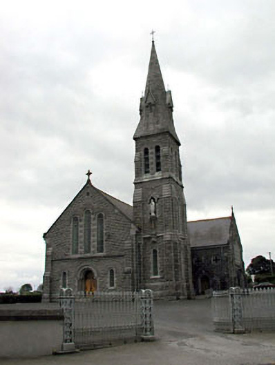 Catholic Church of Our Lady of Lourdeschurch/chapel · 1701 yd
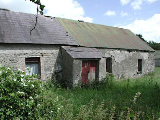 farm housefarm house · 1.7 mi
 Ginnets MoatCastle, motte · 1.8 mi
 European ashEuropean ash · 1.8 mi
 Larchil Arcadian GardensHeritage attraction · 6.3 mi
 Mass was there in Penal TimesMemorial · 9.1 mi
 Lismahon 1798 MemorialMonument · 9.5 mi
 Croppies' GraveMemorial · 11 mi
Other information
Photo: Credit not shown in the picture search · Rights wording not checked; contact us if this picture should be removed