What is recorded here
Coolacoosane in duhallow By. once held a circular earthen fort about fifty metres across, large enough to exclude most ordinary traffic but small enough to hide inside the landscape. People built a house on the levelled remains, perhaps believing ownership would steady the site or forget the fort beneath the floors. The abandoned structure still stands where the rampart disappeared, turning human forgetfulness into the final shape of the place.
Depicted as hachured circular enclosure (diam. c. 50m) on 1842 OS 6-inch map. Levelled; no visible surface trace of enclosure; house, now abandoned, built on site. According to Bowman (1934, 194), Mrs. O'Connell's residence is built on site of levelled single-ramparted fort (diam. c. 31yd).
The above description is derived from the published 'Archaeological Inventory of County Cork. Volume 4: North Cork' (Dublin: Stationery Office, 2000). In certain instances the entries have been revised and updated in the light of recent research.
Date of upload/revision: 14 January 2009
The monument record does not grant public access. Check the route and ask the landowner before entering private land.
- What survives
- Recorded monument
Places near here
 Burial GroundBurial ground · 263 yd
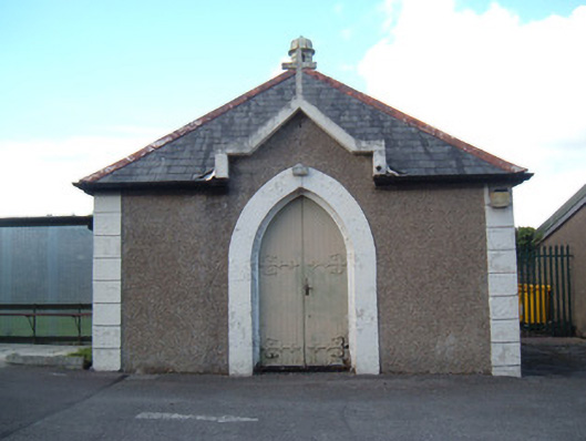 Kanturk District Hospitalmortuary/morgue · 286 yd
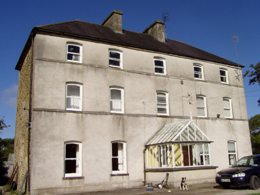 Mill Viewhouse · 429 yd
 Hanna SheehyMemorial · 861 yd
 Burial ground in Curragh (duhallow By., Clonfert Par.)Burial ground · 1122 yd
 Kanturk CastleHeritage attraction · 1.1 mi
 CastleCastle, unclassified · 1.9 mi
 Ballyheen Castle (Site of)Castle, unclassified · 3.1 mi
 Burial ground in AssolasBurial ground · 3.2 mi
 St Fursey's WellSpring · 3.4 mi
 European YewEuropean Yew · 3.5 mi
 Stanner's Glen, Priory WoodWood · 3.7 mi