What is recorded here
Fairy fort, Clonbartan: oval earthworks on a western plateau edge, drawn as a fort in 1836 but faded from later mapping. Thirty-four metres of grass and memory remain where field banks cut through the circle. People may have lived, hidden or worshipped there before the land was measured; the earth keeps its own timetable.
Situated on a rise at the W edge of a broad plateau. An oval or subrectangular embanked enclosure (ext. dims c. 40m E-W; c. 25m N-S) is depicted only on the 1836 edition of the OS 6-inch map where it is described in gothic lettering as a ‘Fort’, and it is depicted as a D-shaped hachured feature, the perimeter of which is truncated by an ENE-WSW field bank at N, and it is absent N-E on the 1908 ed. Traces of a circular grass-covered area (diam. 34.5m NW-SE) defined by a low scarp were visible in 1968.
The above description is derived from the published 'Archaeological Inventory of County Meath' (Dublin: Stationery Office, 1987). In certain instances the entries have been revised and updated in the light of recent research.
Compiled by: Michael Moore
Date of revision: 3 September 2018
The monument record does not grant public access. Check the route and ask the landowner before entering private land.
- What survives
- Recorded monument
Places near here
 CastleCastle, motte · 607 yd
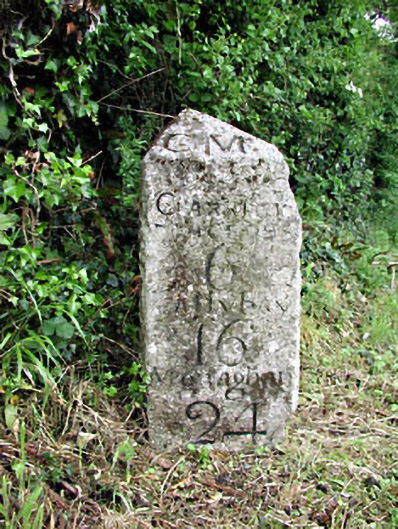 milestone/milepostmilestone/milepost · 977 yd
 Newstone Castle in RuinsCastle, tower house · 983 yd
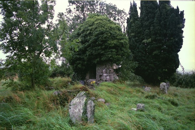 Drumbride Church in RuinsChurch · 1186 yd
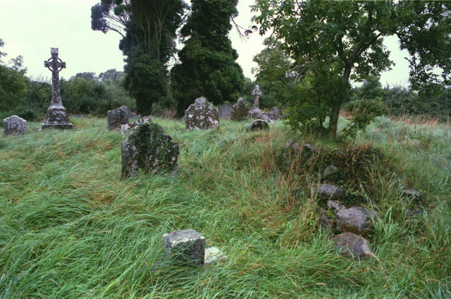 Grave YardGraveyard · 1194 yd
 Matthew's HillMountain / peak · 1391 yd
 IndicatedFairy fort / earthen ringfort · 1.3 mi
 Drumran HillMountain / peak · 1.5 mi
 Tree IslandWood · 3.0 mi
 Flat cemetery in AnnaheanFlat cemetery · 3.5 mi
 European White ElmEuropean White Elm · 4.9 mi
 Nobber GreenwayMemorial · 5.0 mi