What is recorded here
Fairy fort / earthen ringfort in Castletown (moycashel By.) is a fairy fort or earthen ringfort in Castletown (moycashel By.), County Westmeath, Ireland. The monument is a much disturbed roughly circular area measuring 30.5 metres north-south and 29 metres east-west, enclosed by a steep earthen bank that is almost reduced to a scarp. The bank has an internal height of 0.1 metres and an external height of 1.7 metres, with no definite trace of a fosse.
Situated on top of a small, steep hillock (332ft /101m OD), in gently undulating pasture. Monument described as a much disturbed roughly circular-shaped area (dims. 30.5m N-S; 29m E-W) enclosed by a steep earthen bank (int. H 0.1m; ext. H 1.7m) which is almost reduced to a scarp. There is no definite trace of a fosse. A large portion of the perimeter and some of the interior has been quarried away from SE-S-SW. The original entrance is not visible. The interior rises from the bank to the centre and presents a slightly domed appearance which could potentially be man-made or simply the crown of the hillock. The surface of the interior is uneven and the presence of an OS trigonometric station may account for the disturbed appearance. There is a small low sub-rectangular-shaped embankment against the E side of the external face of the bank which is of unknown significance. There are relatively modern plough scarps in the vicinity of the monument.
Compiled by Alison McQueen, Vera Rahilly and Caimin O’Brien.
Date of upload: 27 September 2019
The monument record does not grant public access. Check the route and ask the landowner before entering private land.
- What survives
- Recorded monument
Places near here
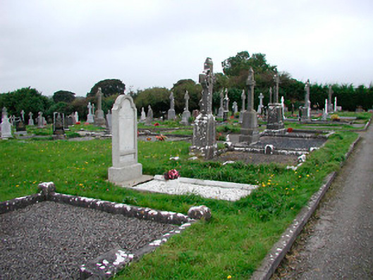 Saint Michael's Cemeterygraveyard/cemetery · 1336 yd
 Dotted outlineFairy fort / earthen ringfort · 1345 yd
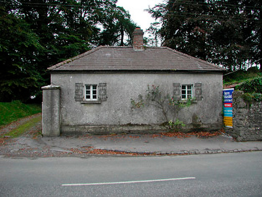 Vastina Housegate lodge · 1383 yd
 Enclosure in RathdrishogeEnclosure · 1430 yd
 Rathdrishoge CastleCastle, unclassified · 1431 yd
 Castletown MoatCastle, motte and bailey · 1625 yd
 Hill of UisneachMountain / peak · 4.1 mi
 European ashEuropean ash · 4.7 mi
 Sam's ParkForest · 4.9 mi
 Bonfire HillMountain / peak · 7.1 mi
 Kilmalady HillMountain / peak · 7.4 mi
 St. Columba's WellSpring · 9.0 mi