What is recorded here
Marianne and I walked the Cartronfree fort at dusk. We jumped the modern field boundary, crossed the shallow ditch, and stood inside the wide eastern gap. A large pond filled the northern half, dark and still, while the earthen bank rose behind us like a forgotten shoulder. I wanted to believe the fairy name without laughing, but Marianne touched the wet grass and said people lived there first. We sat on the warm bank, watched the water tighten into a black line, and left before the place finished deciding what it wanted to be.
Raised circular area (int. diam. c. 28m) enclosed by a substantial earthen bank and a shallow fosse. The fosse has been modified and incorporated into the field boundary from ESE-S-W and has a low, apparently modern, counterscarp bank at its outer lip. Wide break in bank at E presumably represents original entrance. A large pond occupies the northern area of the interior.
The above description is derived from the published 'Archaeological Inventory of County Cavan' (Dublin: Stationery Office, 1995). In certain instances the entries have been revised and updated in the light of recent research.
Date of upload/revision: 22 December 2008
The monument record does not grant public access. Check the route and ask the landowner before entering private land.
- What survives
- Recorded monument
Places near here
 CartronfreeMountain / peak · 12 yd
 Enclosure in TullygullinEnclosure · 1261 yd
 BarrowBarrow, ring-barrow · 1362 yd
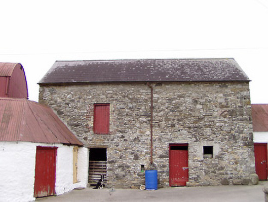 Columbia Houseoutbuilding · 1673 yd
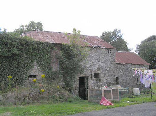 Clooneen Millmill (water) · 1.2 mi
 IdicatedCastle, unclassified · 1.4 mi
 ToomeMountain / peak · 2.2 mi
 Moynagh Upper ForestForest · 2.6 mi
 Bakers FortCastle, ringwork · 2.8 mi
 1798 Monumentmonument · 3.0 mi
 Granard MotteMotte-and-bailey castle remains · 3.1 mi
 Carrick RockWood · 3.2 mi