What is recorded here
Fairy forts are often little more than a stubborn line in a field, resisting the plough long after every human trace has vanished. In Cartronfree that ring measured forty metres across before local men levelled it in the early 1980s. They may have believed they were making room for life, or perhaps fear and greed drove them to erase what they did not understand. Either way, the earth swallowed the chamber and the fairy story lost one of its witnesses.
Levelled in the early 1980s (local information). An earlier report (OPW 1970) described a much-disturbed raised circular area (diam. c. 40m).All that survives to indicate the presence of the site is a curve in the field boundary at E. Otherwise, nothing visible at ground level.
The above description is derived from the published 'Archaeological Inventory of County Cavan' (Dublin: Stationery Office, 1995). In certain instances the entries have been revised and updated in the light of recent research.
Date of upload/revision: 22 December 2008
A fairy fort / earthen ringfort in Cartronfree is a likely early-medieval circular earthwork, originally a defensive or domestic settlement, later associated with local folklore of fairies or supernatural beings. Now largely destroyed, only a curved field feature remains as evidence of its former presence.
The monument record does not grant public access. Check the route and ask the landowner before entering private land.
- What survives
- Recorded monument
Places near here
 CartronfreeMountain / peak · 499 yd
 BarrowBarrow, ring-barrow · 949 yd
 FortsFairy fort / earthen ringfort · 1330 yd
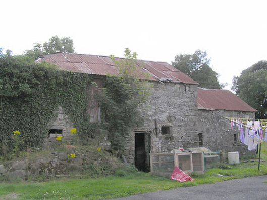 Clooneen Millmill (water) · 1637 yd
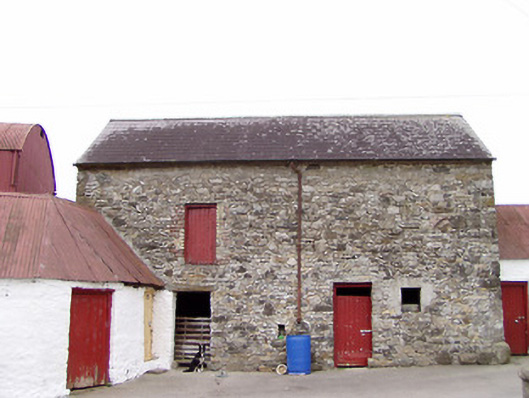 Columbia Houseoutbuilding · 1672 yd
 IdicatedCastle, unclassified · 1.6 mi
 ToomeMountain / peak · 2.1 mi
 Bakers FortCastle, ringwork · 2.7 mi
 1798 Monumentmonument · 2.9 mi
 Moynagh Upper ForestForest · 2.9 mi
 Granard MotteMotte-and-bailey castle remains · 3.0 mi
 Derrycassan WoodsWood · 3.2 mi