What is recorded here
Half the fort is gone, taken by the canal and its tow path, leaving a low irregular rise in level pasture where the 1837 map still drew a subrectangular fort. What remained in 1976 was little more than a shadow of a bank, yet a possible underground passage lies nearby, as if the place kept one chamber hidden when the field swallowed the rest.
In level, well-drained pasture. Depicted as a subrectangular enclosure with the designation 'Fort' on the 1837 ed. of the OS 6-inch map and clipped by the Royal Canal and its adjoining tow path from NW-NNE. A report in 1976 (SMR file) noted that all that survived was a low, irregular platform or rise. A possible Man-made underground passage (LF026-011001-) is associated.
Compiled by: Patrick F. O'Donovan
Date of upload: 5 September 2012
The monument record does not grant public access. Check the route and ask the landowner before entering private land.
- What survives
- Recorded monument
Places near here
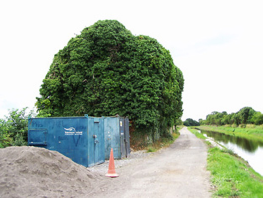 store/warehousestore/warehouse · 87 yd
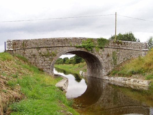 Archie's Bridgebridge · 182 yd
 CastleCastle, motte · 1034 yd
 Enclosure in MullaworniaEnclosure · 1256 yd
 Tober PatrickHoly well · 1519 yd
 Bawn in TirlickeenBawn · 1.0 mi
 European BeechEuropean Beech · 1.9 mi
 Corlea Bog Walk Canal BranchWalking route · 3.3 mi
 Corlea Trackway Interpretative CentreHeritage attraction · 3.5 mi
 Corlea Bog Walk Blue LoopWalking route · 3.8 mi
 Leveret IslandIslet · 4.5 mi
 InchbofinIslet · 5.5 mi