What is recorded here
Fairy forts are human ringforts misnamed, and Cartronawar is one: a shallow circular bank in low pasture, about twenty-three metres across, with a narrow ditch cut outside the ridge. People may have lived there before the field took it back, raising children or arguing about weather inside the small circle. The fairies entered later as a joke or an excuse for forgetting, but the earth still holds the shape of human choice.
In low-lying pasture. A report in 1976 (SMR file) noted that this raised circular area (diam. c. 23m) was enclosed by two low banks with a shallow intervening fosse. The original entrance may have been at SE. It is defined by a low bank of earth and stone (Wth 2.2; H 0.15-0.3m) with traces of an external fosse (Wth 1.8m; D 0.1m-0.2m). The fosse may have been recut when drains to the W were laid down. The outer bank is not visible at ground level.
Compiled by: Patrick F. O'Donovan
Date of upload: 28 November 2011
The monument record does not grant public access. Check the route and ask the landowner before entering private land.
- What survives
- Recorded monument
Places near here
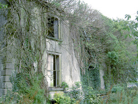 Lismacmurrough Househouse · 531 yd
 Enclosure in Cartronawar (rathcline By.)Enclosure · 1173 yd
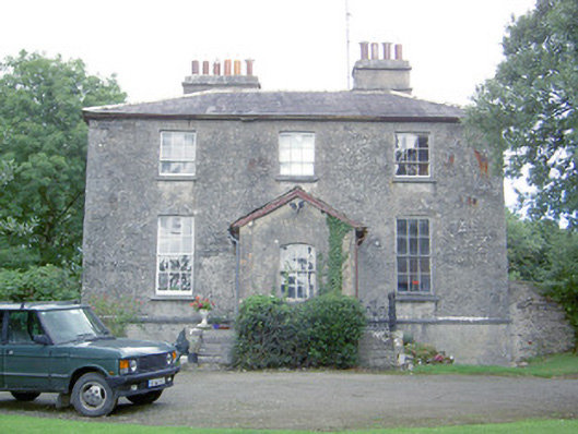 Kilcommock Rectoryrectory/glebe/vicarage/curate's house · 1175 yd
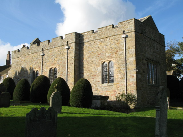 Church (in Ruins)Graveyard · 1418 yd
 Bawn in TirlickeenBawn · 1730 yd
 Barry CastleCastle, unclassified · 1.4 mi
 Corlea Bog Walk Canal BranchWalking route · 2.0 mi
 Corlea Trackway Interpretative CentreHeritage attraction · 2.3 mi
 Corlea Bog Walk Blue LoopWalking route · 2.6 mi
 Leveret IslandIslet · 5.7 mi
 Graveyard in Curry (ardagh By., Coolamber Ed)Graveyard · 6.2 mi
 InchbofinIslet · 6.7 mi