What is recorded here
That is the largest ringfort in Louth. It sits at the foot of a steep slope in Callystown, large enough for a small village rather than a single family home. People may have lived there before the area changed around them. They may have watched weather come down the valley, stored food, raised children and forgotten the name of the place. The earth kept the shape of their choice. Size is not the same as pride, but it is evidence that the land was valued.
Located towards the bottom of a steep N-facing slope. The cropmark of a circular enclosure (diam. c. 35m) defined by a sinlge fosse feature with a wide entrance gap (Wth c. 10m) at E is visible on the OSI aerial images (1995). It is also visible as a faint feature on Bing images (c. 2012), and it was first identified by Ivor Kenny.
Compiled by: Michael Moore
Date of upload; 2 January, 2015
The monument record does not grant public access. Check the route and ask the landowner before entering private land.
- What survives
- Recorded monument
Places near here
 Enclosure in DalesEnclosure · 822 yd
 Church (in ruins)Church · 1476 yd
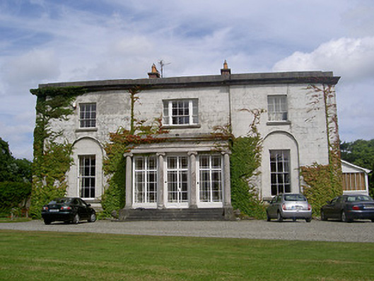 Black Hallcountry house · 1710 yd
 LismanaghanEcclesiastical site · 1.1 mi
 Castle RuinsCastle, tower house · 1.5 mi
 Castle (Site of)Castle, tower house · 2.2 mi
 Chapel (in Ruins), GraveyardChurch · 2.3 mi
 Moneyveg WoodForest · 2.9 mi
 Graveyard in DysartGraveyard · 3.3 mi
 Sweet baySweet bay · 3.4 mi
 Tullydonnell HillMountain / peak · 4.4 mi
 Beaulieu House and GardensHeritage attraction · 4.4 mi