
What is recorded here
Castle (Site of) in Termonfeckin stood on the south bank of the river, west of the bridge, with two angle-towers and a lower building between them. It may have belonged to the archbishop of Armagh, a tall claim for a small Louth fortress, yet distance and rank often stretched upon such stones. No surface remains now, only the shape remembered through old drawings and the water still moving where its shadow fell.
Illustrated by Wright (1758, bk II, pls XIX and XX), Grose (Dolan 1921) and Petrie (MacIvor 1950, opp. p. 144). Petrie shows it located on the S side of the river and W of Termonfeckin bridge. From the three drawings it appears to have had two angle-towers and a slightly lower building extending from the opposite side to the towers. Grose and Petrie illustrate a round tower which was almost certainly sited on one of the angles of the bawn. It is thought to have been the residence of the archbishop of Armagh (Dolan 1921). No visible surface remains. (Wright 1758, bk II, 7, pls XIX, XX; Tempest 1952b, fig. facing p. 148)
The above description is derived from both the published 'Archaeological Inventory of County Louth' (Dublin: Stationery Office, 1986) and the 'Archaeological Survey of County Louth' (Dublin: Stationery Office, 1991). In certain instances the entries have been revised and updated in the light of recent research.
Date of upload: 17 July 2007
The monument record does not grant public access. Check the route and ask the landowner before entering private land.
- What survives
- Recorded monument
Places near here
 Ecclesiastical site in TermonfeckinEcclesiastical site · 30 yd
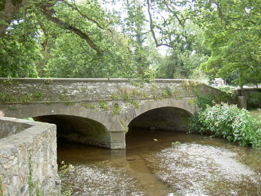 bridgebridge · 48 yd
 Sunnyside Househouse · 124 yd
 St. Feighins WellHoly well · 135 yd
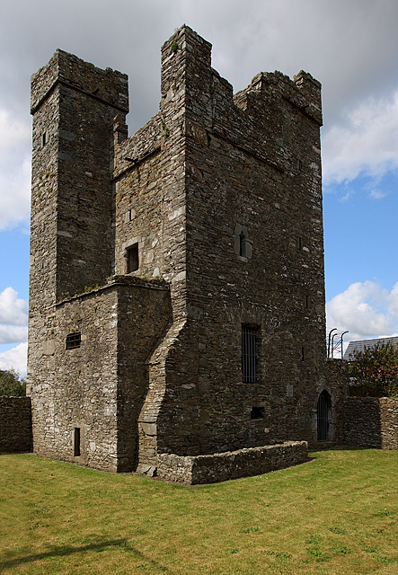 CastleCastle, tower house · 421 yd
 Termonfeckin CastleCastle · 423 yd
 Beaulieu House and GardensHeritage attraction · 2.4 mi
 Chapel (in Ruins), GraveyardChurch · 4.0 mi
 Newgrange Business ParkMemorial · 5.7 mi
 Yellow IslandIslet · 5.9 mi
 MonasterboiceEarly monastic site · 6.0 mi
 Grove IslandIslet · 6.2 mi
Other information
Photo: Credit not shown in the picture search · Rights wording not checked; contact us if this picture should be removed