What is recorded here
At highest point within a 200ft contour area. Ringfort very overgrown with tress, scrub and brambles (diam. internal 38m; overall 68m based on OS 25-inch map). Surrounded on N, NE, E and NW sides by road. Pasture lies immediately S of the monument. Ringfort enclosed by a bank (Wth 1.8m crest, 8.6m base; int. H 0.91m; ext. H 2.3m) which is reduced to scarp in places. The bank slopes gradually to interior and drops steeply to external fosse. In the N and NE quadrant the fosse is wide, flat-bottomed and waterlogged. Elsewhere the fosse (Wth 1.8m; D 1.9m) appears to have been re-cut as it is well defined with sharp edges. There is a broad outer bank (Wth 3.5m crest, 6m base; ext. H 1.6m) which has been badly eroded in the E quadrant leaving isolated islands of bank. The outer fosse (Wth 1.6m; D 1.9m) is steep sided, except in the S quadrant where it is wide and waterlogged. Entrance (Wth 2m) in the inner bank with evidence of a low causeway, fosse waterlogged on either side. The outer bank is partially destroyed at this point, however the S side survives and appears to be terminated with stone revettment along inner edge of bank.
Compiled by: Jean Farrelly
Date of upload: 26 August 2011
The monument record does not grant public access. Check the route and ask the landowner before entering private land.
- What survives
- Recorded monument
Places near here
 Enclosure in Kilmore (lisronagh Par.)Enclosure · 370 yd
 CastleCastle, ringwork and bailey · 657 yd
 Enclosure in MoanroeEnclosure · 664 yd
 RoadRoad, road/trackway · 1028 yd
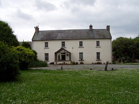 Annsforthouse · 1116 yd
 Site of Carrigeen CastleCastle, unclassified · 1150 yd
 Persian WalnutPersian Walnut · 1158 yd
 The WoodsForest · 2.3 mi
 Charles BianconiMemorial · 3.4 mi
 RetrospectMemorial · 3.4 mi
 Main GuardHeritage attraction · 3.4 mi
 Merchant's HouseVisitor information · 3.5 mi