What is recorded here
Fairy fort / earthen ringfort in Bleantasour is a fairy fort or earthen ringfort in Bleantasour, County Waterford, Ireland. The subcircular site spans 31 metres north-south and 28 metres east-west, holding a 5 to 6.5-metre-wide earthen bank with internal stone-facing. A 1 to 3-metre-wide outer fosse runs from northwest through east to southwest, while the steep ravine slope takes its place from southwest through west. A 1.2-metre-wide entrance opens at the south-southwest edge of the fern-covered pasture.
Situated in pasture at the E edge of the ravine of the N-S Lalisheen stream. Subcircular fern-covered area (dims. 31m N-S; 28m E-W) defined by an overgrown earthen bank (Wth 5-6.5m; int. H 0.9m at S to 1.5m at E; ext. H 1.2m at N to 2.4m at W) with internal stone-facing. The outer fosse (Wth 1-3m; D 0.3-1m) NW-E-SW is heavily overgrown and is replaced by the steep ravine slope SW-W. The entrance (Wth 1.2m) at SSW.
The above description is derived from the published 'Archaeological Inventory of County Waterford' (Dublin: Stationery Office, 1999). In certain instances the entries have been revised and updated in the light of recent research.
Date of upload/revision: 23 December 2008
The monument record does not grant public access. Check the route and ask the landowner before entering private land.
- What survives
- Recorded monument
Places near here
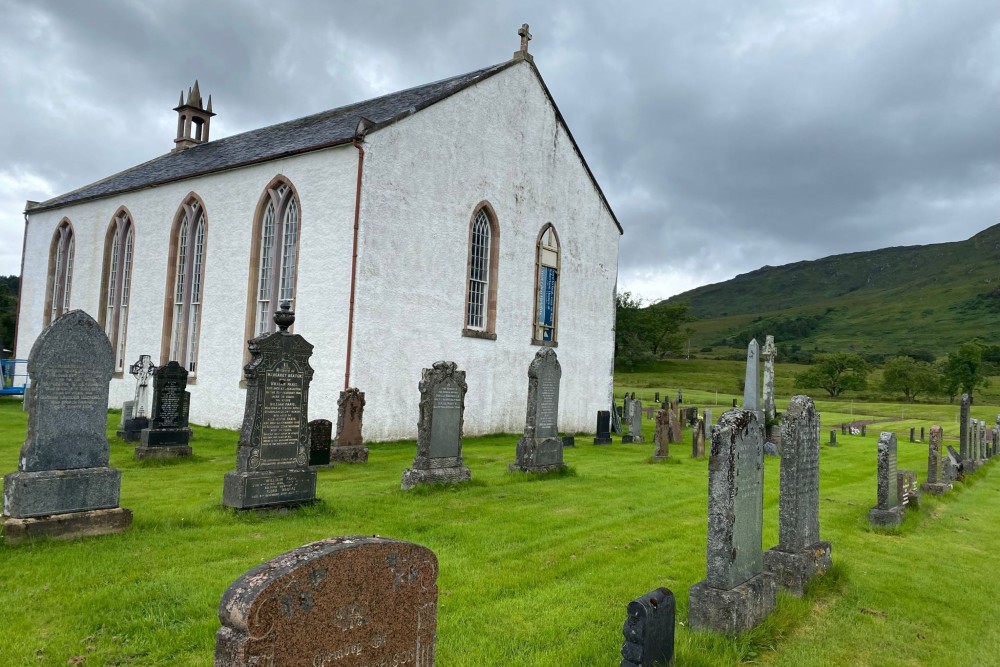 Foilnagarlagh Burial GroundChildren's burial ground · 656 yd
 Fort of the Three StonesEnclosure · 724 yd
 Church in Knockboy (decies Without Drum By., Seskinan Par.)Church · 1210 yd
 Kilbrien National SchoolOfficially recorded historic building · 1643 yd
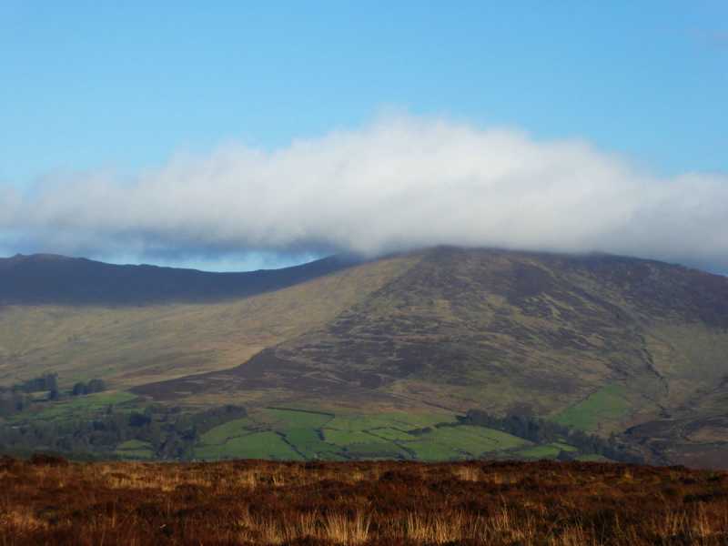 Bleantasour MountainMountain / peak · 2.2 mi
 Standing StoneMemorial · 2.4 mi
 Pigeon HillMountain / peak · 3.1 mi
 Site of CastleCastle, unclassified · 3.8 mi
 Mahon ValleyCliff · 4.4 mi
 Curraghcloney CastleCastle · 4.9 mi
 Laeka WoodWood · 5.1 mi
 Siglloges LoopWalking route · 5.6 mi