What is recorded here
Barradaw is a broken fairy fort, not a mysterious one. Its shallow bank, narrow gap and missing southwest edge show that people lived there, used the land and changed what they could afford to keep. The fairies enter only when the facts stop being clear.
In tillage, on N-facing slope. Circular area (27.1m N-S; 26.5m E-W) enclosed by earthen bank (H 0.6m) N->SW; inward facing scarp (H 0.6m) SW->N, where ground level higher to outside. Interior level; reeds growing in E half; truncated on SW side by drain.
The above description is derived from the published 'Archaeological Inventory of County Cork. Volume 2: East and South Cork' (Dublin: Stationery Office, 1994). In certain instances the entries have been revised and updated in the light of recent research.
Date of upload/revision: 14 January 2009
The monument record does not grant public access. Check the route and ask the landowner before entering private land.
- What survives
- Recorded monument
Places near here
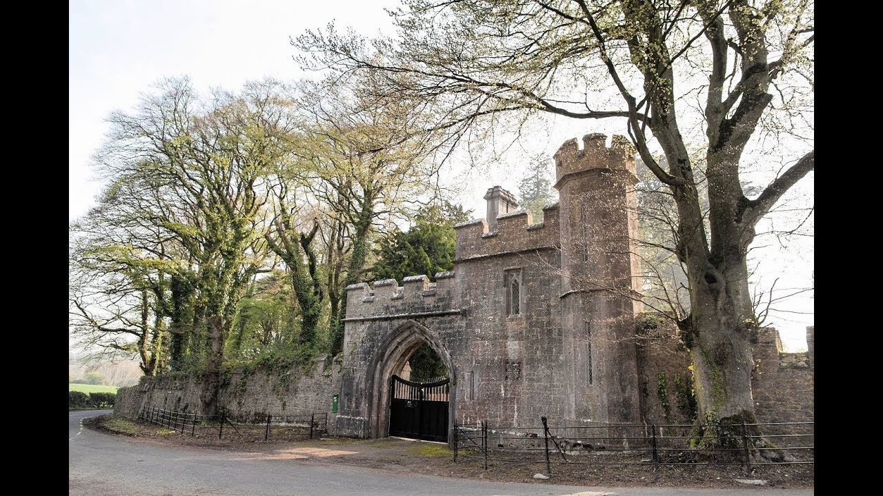 Enclosure in MonavarnogeEnclosure · 1564 yd
 Leahy's Open FarmHeritage attraction · 1.3 mi
 Glengarracountry house · 1.6 mi
 Grave YardGraveyard · 1.6 mi
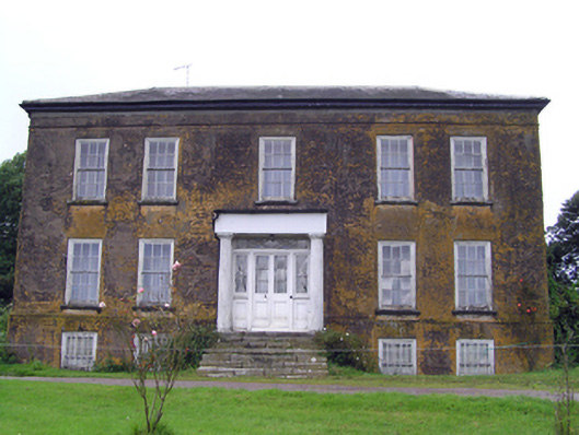 Ballyrecountry house · 1.6 mi
 Salt HillMountain / peak · 2.4 mi
 Clonmult Ambush SiteBattlefield · 2.5 mi
 Ballyknock Castle (Site of)Castle, unclassified · 2.9 mi
 Glenbower WoodForest · 3.2 mi
 Castle (Site of)Castle, unclassified · 3.4 mi
 Fainin's WellSpring · 3.8 mi
 Graveyard in KillasseraghGraveyard · 4.5 mi