What is recorded here
Mortons and others may have built the oval fort in Ballyonan, yet the fairy name still belongs there. Earth and stone still stand around a narrow gap where people once entered, while the smaller chamber inside waits like a room nobody abandoned. The fort is not a vague legend or a dead shape. It is a lived place where human hands made a home and local memory continued to inhabit it.
The following description is derived from both the published 'Archaeological Inventory of County Louth' (Dublin: Stationery Office, 1986) and the 'Archaeological Survey of County Louth' (Dublin: Stationery Office, 1991). In certain instances the entries have been revised and updated in the light of recent research.
Date of upload/revision: 17 July 2007
Oval area (int. dims. 34m NW-SE, 22.5m SW-NE) enclosed by earth and stone bank (Wth 4.3m, H 0.4m internally, 2m externally). Possible entrance gap at N (Wth 1.8m) lined with large stones.
The monument record does not grant public access. Check the route and ask the landowner before entering private land.
- What survives
- Recorded monument
Places near here
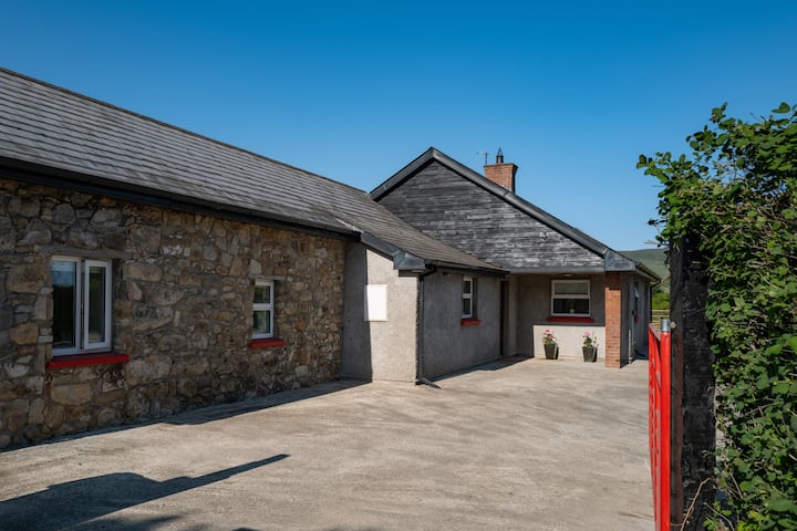 Hut site in BallyonanHut site · 121 yd
 The Eagles RockMountain / peak · 1507 yd
 Promontory fortPromontory fort, inland · 1707 yd
 The Ravens RockMountain / peak · 1.2 mi
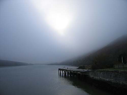 Carlingford LoughSea lough and mountain landscape · 1.2 mi
 Carlingford Lough GreenwayWalking route · 1.3 mi
 Grave YardChurch · 1.6 mi
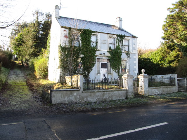 Oberon Villahouse · 1.7 mi
 Carlingford - Slieve Foye LoopWalking route · 1.7 mi
 Long Woman's GraveArchaeological place · 2.0 mi
 Cooley MountainsMountain range · 2.2 mi
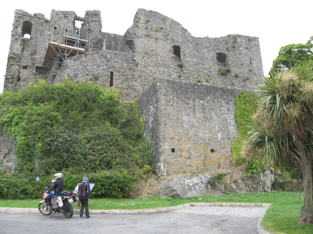 King Johns Castle in ruinsCastle, Anglo-Norman masonry castle · 2.3 mi