What is recorded here
Cruckavilla rises above Ballyglass pasture as a broad earthen ring, its southwest bank still sharp while the eastern edge has been quarried into memory. The hillock commands every horizon, suggesting the fort served as a watchtower or local seat of power before human hands reshaped it. A hidden underground passage remains in the northwest quadrant, inviting speculation about secret movement or ritual use within the ring. Cattle now walk where people once watched the sky, turning a defensive stronghold into a quiet field of ghosts and grass.
In pasture, prominently sited on the top of a hillock named ‘Cruckavilla’ on the 1915 OS 6-inch map, with extensive views in all directions.
The remains consist of a raised subcircular area (37.5m E-W; 30.7m N-S) encompassing the summit of the hillock and defined by a scarp which merges with the natural slope of the hillock. The enclosing scarp (H 1.35m) on the SW arc remains relatively well defined. Outside it is a narrow berm or terrace defined by a scarp that peters out at NW. At SE the rath scarp and berm curve outwards to merge with a ramp-like slope, possibly the location of an original entrance.
At NW-E, the rath scarp merges seamlessly with the natural slope of the hillock so that the outline of the rath is no longer sharply defined. The E-S side of the hillock has been quarried out, obliterating the rath scarp.
The rath interior undulates gently, but there is a slightly raised relatively level area in the NW quadrant, within which there is a Man-made underground passage (MA119-021002-). Cultivation ridges on a NNW-SSE axis traverse the top and sides of the rath and the hillock.
Compiled by: Jane O’Shaughnessy
Date of upload: 23 June 2023
A fairy fort or earthen ringfort in Ballyglass, likely dating to the early medieval period, is situated on the prominent hillock of Cruckavilla, suggesting strategic or ceremonial significance. Local tradition associates such sites with fairy lore, reflecting their perceived otherworldly or supernatural importance in Irish folklore.
The monument record does not grant public access. Check the route and ask the landowner before entering private land.
- What survives
- Recorded monument
Places near here
 IndicatedFairy fort / earthen ringfort · 483 yd
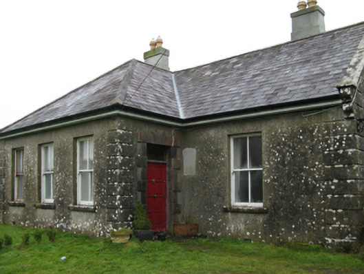 Ballyglass Housefarm house · 920 yd
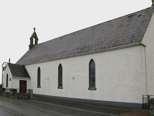 Saint Patrick's Catholic Churchchurch/chapel · 1178 yd
 Enclosure in CoolconEnclosure · 1.2 mi
 Castle (in ruins)Castle, unclassified · 1.6 mi
 Castle in ruinsCastle, unclassified · 2.7 mi
 Geoffrey's WoodForest · 3.3 mi
 Oak WoodForest · 3.4 mi
 Mass RockNamed rock · 8.0 mi
 The Heathfarm house · 1531 yd
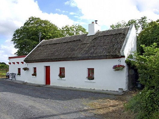 Beech Tree Cottagehouse · 1.4 mi
 Hillfort in BelmontHillfort · 1.6 mi