
What is recorded here
On a low flat-topped rise in lowlying pasture, bordering a broad expanse of flat wet pasture and bog (now partly reclaimed). It is in a natural basin enclosed by ridges at E−SE and W−NW.
Indicated as ‘Castle (in Ruins) on the 1838 and 1915 OS 6-inch maps; on the 1914 edition an E−W rectangular building is depicted, incorporated into a N−S wall.
No visible trace at ground level. According to local information, the last remnants of the castle were removed in the 1980’s. At that time it was very ruinous, with only part of one wall standing. Stones taken from the castle are said to have been used to build walls and farm buildings in the past. During the most recent clearance, the stones were simply buried. According to local tradition, the castle was owned by the Blakes.
Compiled by: Jane O’Shaughnessy
Date of upload: 31st May 2023
A local castle; wider significance not recorded.
This remains an important historical record, but the official description says the monument is no longer visible or has been destroyed. The monument record does not grant public access. Check the route and ask the landowner before entering private land.
- What survives
- No visible remains or recorded as destroyed
Places near here
 Enclosure in CoolconEnclosure · 569 yd
 IndicatedEnclosure · 1178 yd
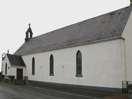 Saint Patrick's Catholic Churchchurch/chapel · 1733 yd
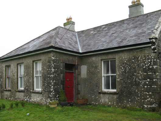 Ballyglass Housefarm house · 1.1 mi
 Castle in ruinsCastle, unclassified · 1.2 mi
 Bawn in BlindwellBawn · 3.1 mi
 European YewEuropean Yew · 4.0 mi
 Geoffrey's WoodForest · 4.2 mi
 Mass RockNamed rock · 7.6 mi
 Enclosure in Lecarrow (kilmaine By., Kilcommon Par.)Enclosure · 1.1 mi
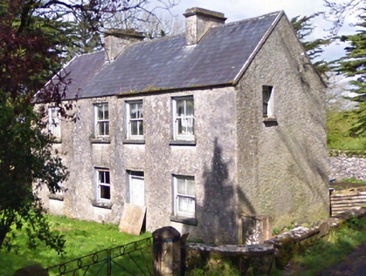 farm housefarm house · 1.2 mi
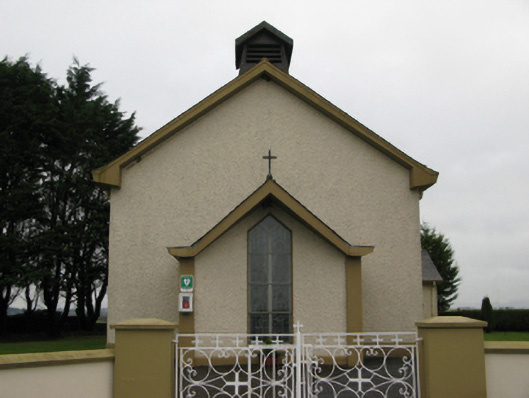 Saint Joseph's Catholic Churchchurch/chapel · 1.7 mi
Other information
Photo: Credit not shown in the picture search · Rights wording not checked; contact us if this picture should be removed