
What is recorded here
Encompassing the summit of Belmont Hill in undulating grassland. A large subcircular enclosure (N-S 170m, E-W 150m), in fair condition, defined by a bank and external fosse. Traces of an outer bank are visible beneath the modern stone wall which encloses the hill summit and Raftery (1976, 90) also noted traces of an outer fosse especially at S. An internal stone-facing is visible along the inner bank at E. There are entrances at S (Wth 5.5m) and W (Wth 3m), both with corresponding causeways across the fosse: Raftery (ibid., 90-91) suggests that the latter may be modern. A graveyard (GA015-016001-) is associated. (Costello 1902b, 109; Knox 1911a, 109)
The above description is derived from the published 'Archaeological Inventory of County Galway Vol. II - North Galway'. Compiled by Olive Alcock, Kathy de hÓra and Paul Gosling (Dublin: Stationery Office, 1999).
Date of upload: 05 August 2010
A local fairy fort (ringfort/rath); wider significance not recorded.
The monument record does not grant public access. Check the route and ask the landowner before entering private land.
- What survives
- Recorded monument
Places near here
 Monumental structure in BelmontMonumental structure · 386 yd
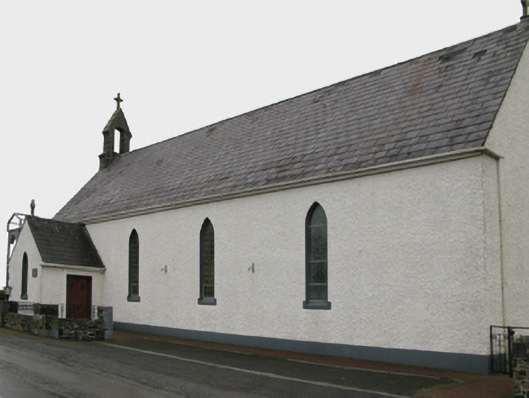 Saint Patrick's Catholic Churchchurch/chapel · 1.2 mi
 Enclosure in UrraclyEnclosure · 1.3 mi
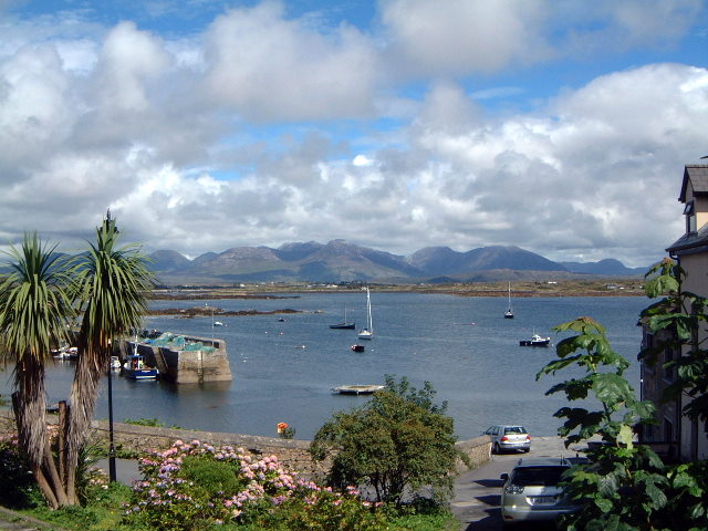 Quarry in BelmontQuarry · 1.6 mi
 Castle (in ruins)Castle, unclassified · 1.8 mi
 Bawn in BlindwellBawn · 2.5 mi
 European YewEuropean Yew · 4.5 mi
 Geoffrey's WoodForest · 4.8 mi
 Mass RockNamed rock · 6.4 mi
 Ross Errilly FriaryHeritage attraction · 11 mi
 Inis Mhic an TrírIsland · 14 mi
 Otter IslandIslet · 14 mi
Other information
Photo: Credit not shown in the picture search · Rights wording not checked; contact us if this picture should be removed