What is recorded here
Situated in the fold of a small NW-SE stream which is c. 40m to the NE. The slight cropmark of a circular enclosure (diam. c. 35m) defined by a single fosse feature is visible on aerial photographs (MM (57) 12-4) and aerial photographs (WX026-070_1 to _5) taken in 2004.
Compiled by: Michael Moore
Date of upload: 11 July, 2012
Amended: 25 April, 2014
The monument record does not grant public access. Check the route and ask the landowner before entering private land.
- What survives
- Recorded monument
Places near here
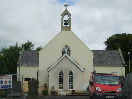 Saint Peter's Catholic Churchchurch/chapel · 554 yd
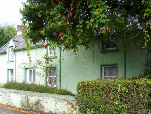 Glenbrien Househouse · 650 yd
 Site of ChurchChurch · 1023 yd
 St. Peters WellHoly well · 1132 yd
 Scurlocksbush HillMountain / peak · 1.6 mi
 Ballinkeel Castle (in ruins)Castle, unclassified · 1.7 mi
 CastleCastle, ringwork · 3.2 mi
 National 1798 CentreMuseum · 3.4 mi
 Battle of Vinegar HillMajor battlefield · 3.6 mi
 Duffry GateMemorial · 3.8 mi
 U.N. Peace MemorialMonument · 3.8 mi
 Raheennahoon HillMountain / peak · 7.2 mi