What is recorded here
No visible fort remains in Ballycullane Lower, though a shallow circular depression still marks the site where a thirty-metre earthen ring stood beside a cut ditch. Cattle now walk the damp slope, their hooves mixing soil that once formed a boundary, a doorway and a defensible edge. The fort has not vanished into fantasy; it has been levelled into the land, waiting for rain, memory or patience to make its shape plausible again.
Circular area (diam. c. 30m) surrounded by an earthen bank with an external fosse destroyed after 1972. Situated on slope in poorly-drained pasture land. No visible surface traces.
Date of upload: 8 September 2016
The monument record does not grant public access. Check the route and ask the landowner before entering private land.
- What survives
- Recorded monument
Places near here
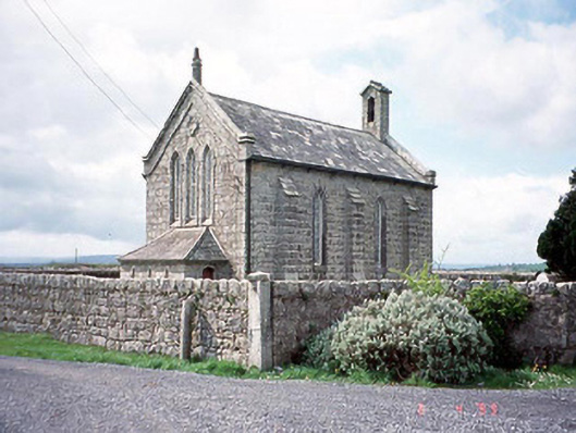 Kineagh Churchchurch/chapel · 975 yd
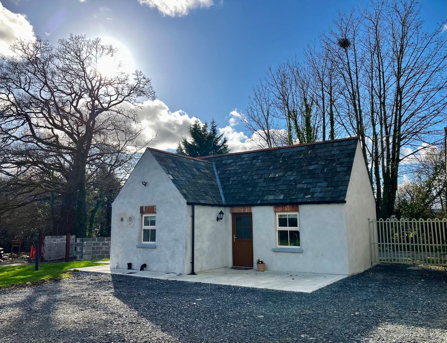 Enclosure in Ballycullane UpperEnclosure · 976 yd
 Church (in ruins), Cross, GraveyardChurch · 1238 yd
 OutlinedCastle, unclassified · 1455 yd
 EnclosureEnclosure, large enclosure · 1.1 mi
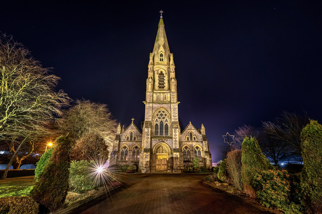 Templeboy Church (in ruins)Church · 1.2 mi
 CastleCastle, unclassified · 1.8 mi
 Duckett's GroveHeritage attraction · 1.9 mi
 Church (in Ruins), GraveyardChurch · 2.2 mi
 Cork oakCork oak · 2.5 mi
 European YewEuropean Yew · 2.7 mi
 Franciscan FriaryHeritage attraction · 3.2 mi