What is recorded here
A roughly polygonal-shaped enclosure (overall diam. c. 77m NE-SW; c. 75m NW-SE) identified as the cropmark of fosses on satellite imagery (Google Earth satellite imagery, 21 July 2021) by Jean-Charles Caillère. The enclosure has straight sides which curve at the angle. This unusual bivallate enclosure is defined by two fosses, c. 4m apart. A curving field boundary, indicated on the 1st ed. OS 6-inch map and later revision but subsequently levelled, appears as a cropmark running NW-SE along the SW perimeter of the enclosure.
See attached:
CW003-042----_01 Google Earth satellite imagery, 21 July 2021
Compiled by: Jean Farrelly
Date of upload: 8 December 2021
A large, roughly polygonal early-medieval ringfort identified as a cropmark in Moorestown, likely dating to the 5th–10th centuries AD. No specific folklore or historical references are associated with this site.
The monument record does not grant public access. Check the route and ask the landowner before entering private land.
- What survives
- Recorded monument
Places near here
 OutlinedCastle, unclassified · 1134 yd
 Duckett's GroveHeritage attraction · 1369 yd
 CastleCastle, unclassified · 1755 yd
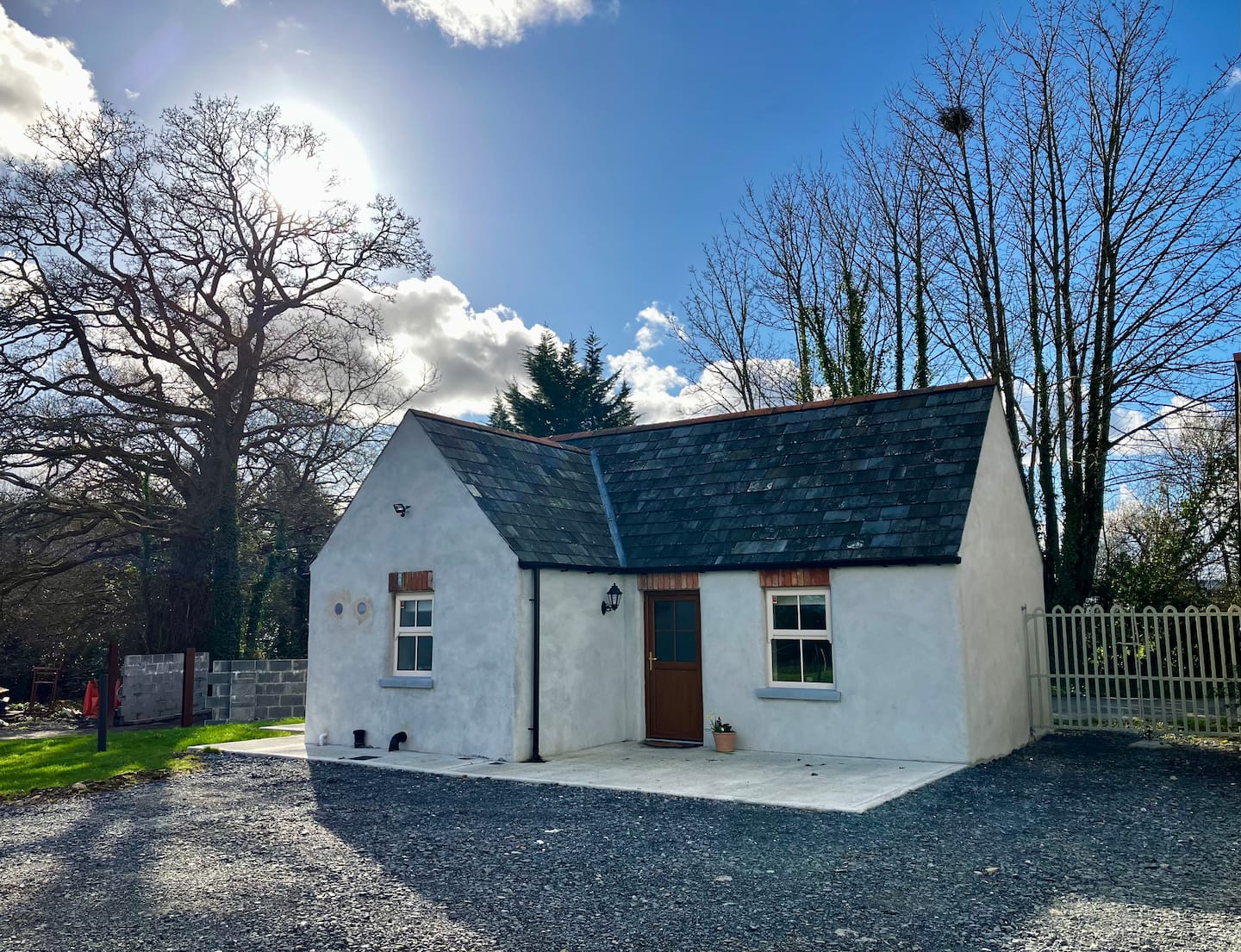 Enclosure in Ballycullane UpperEnclosure · 1.0 mi
 Enclosure in RainestownEnclosure · 1.1 mi
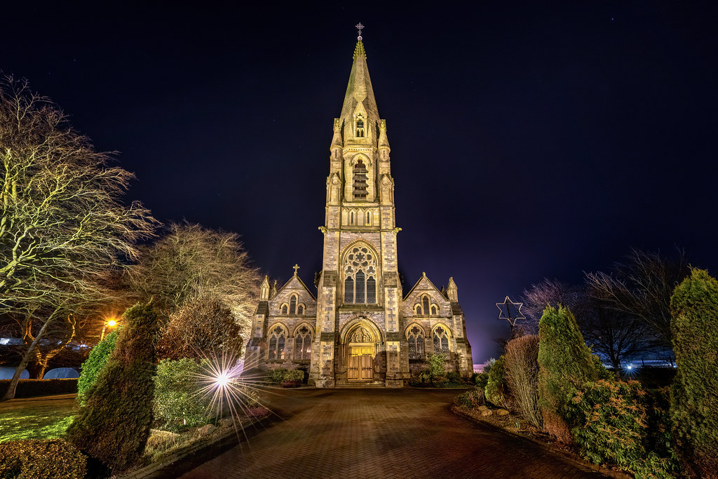 Templeboy Church (in ruins)Church · 1.2 mi
 Church (in ruins), Cross, GraveyardChurch · 1.3 mi
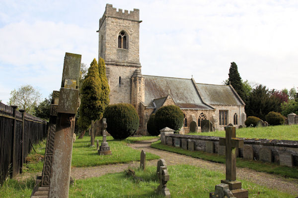 St. John the Baptists Preceptory (in Ruins)Religious house, Knights Hospitallers · 1.3 mi
 Church (in Ruins), GraveyardChurch · 1.4 mi
 Cork oakCork oak · 1.4 mi
 European YewEuropean Yew · 1.7 mi
 Franciscan FriaryHeritage attraction · 3.4 mi
Other information
Photo: Credit not shown in the picture search · Rights wording not checked; contact us if this picture should be removed