What is recorded here
Recorded on the Down Survey (1655-6), and named 'Ballycollen'. The remains consist of a circular area (diam c. 30m), indicated on the 1909 OS 6-inch map surrounded by an earthen bank with an external drain, now largely obscured by large boulders. The entrance to the enclosure is not identifiable. The enclosure is probably related to the fairly substantial house (now levelled) shown on Taylor's map of County Kildare (1783).
Recorded on the Down Survey (1655-6), and named 'Ballycollen'. The remains consist of a circular area (diam c. 30m), indicated on the 1909 OS 6-inch map surrounded by an earthen bank with an external drain, now largely obscured by large boulders. The entrance to the enclosure is not identifiable. The enclosure is probably related to the fairly substantial house (now levelled) shown on Taylor's map of County…
From the National Monuments Service (Archaeological Survey of Ireland) record KD040-036
The monument record does not grant public access. Check the route and ask the landowner before entering private land.
- What survives
- Recorded monument
Places near here
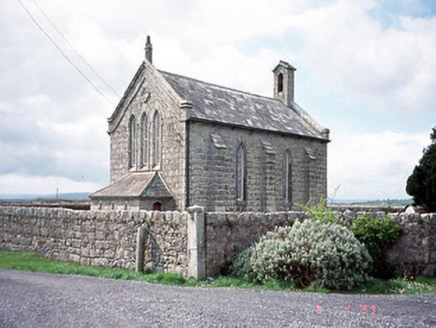 Kineagh ChurchChurch/chapel · 1.3 miChurch (in ruins), Cross, GraveyardChurch · 1.3 mi
 Duckett's GroveCountry house · 1.3 mi
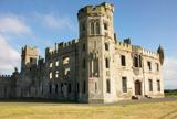 Duckett's GroveHeritage attraction · 1.3 miCastleCastle, unclassified · 1.3 mi
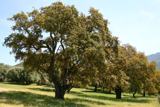 Cork oak1.7 mi
 European Yew1.9 miChurch (in Ruins), GraveyardChurch · 2.0 mi
 TombTomb, hogback · 2.9 mi
 Castledermot Round TowerHeritage attraction · 2.9 mi
 Portal tomb in KernanstownPortal tomb · 4.2 mi
 Kilkea CastleCastle, tower house · 6.0 mi
Pictures: National Inventory of Architectural Heritage; Irlandahijo, Wikimedia Commons · CC BY-SA 3.0; Jean-Pol GRANDMONT, Wikimedia Commons · CC BY 3.0; Sitomon, Wikimedia Commons · CC BY-SA 2.0; Andreas F. Borchert, Wikimedia Commons · CC BY-SA 4.0; Jacknow, Wikimedia Commons · CC BY-SA 4.0; dougf, Geograph · CC BY-SA 2.0
More castles and forts in County Kildare · All of County Kildare
What do you know about this place?