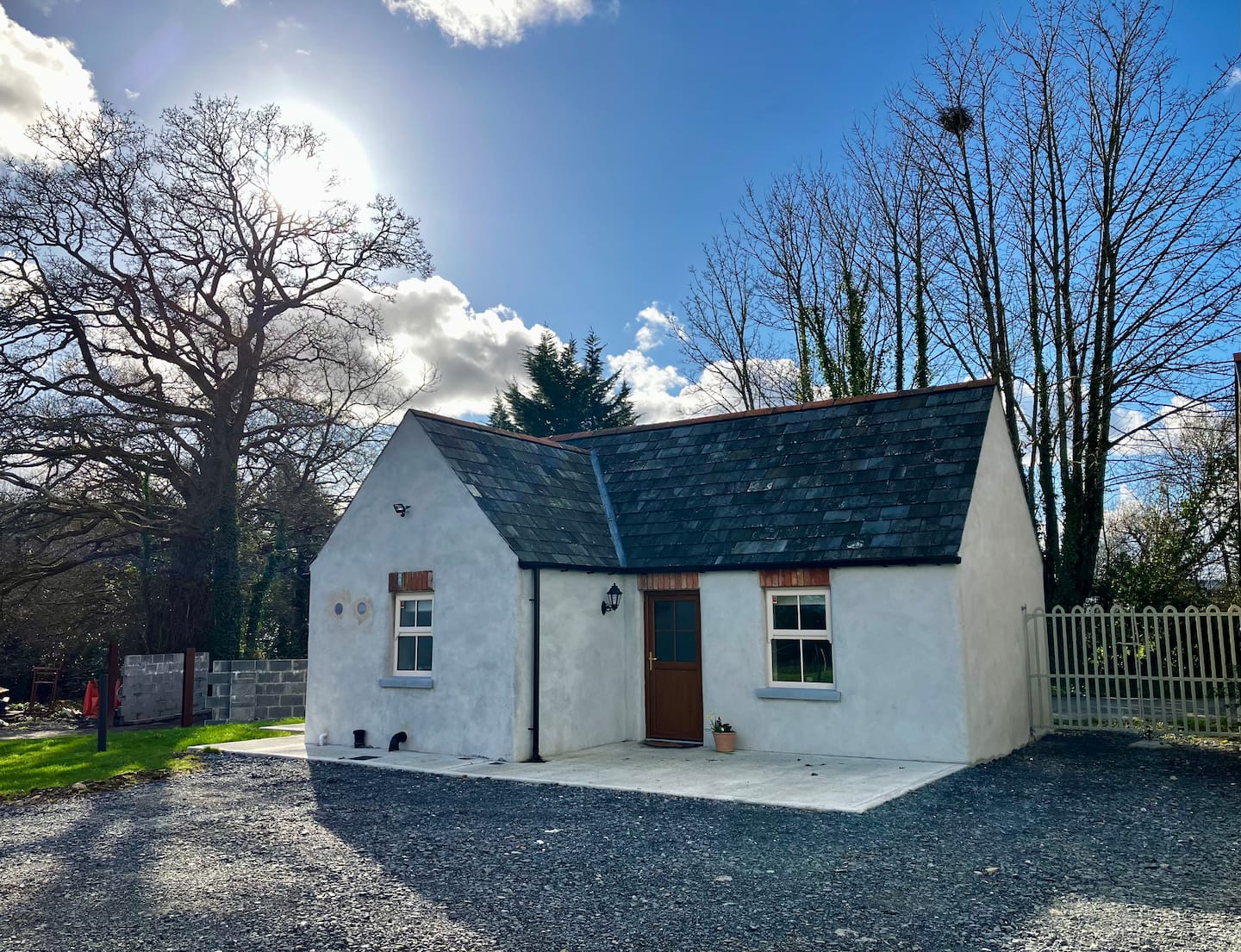
What is recorded here
Shown on the 1908 OS 6-inch map as NW portion of possible rectangular enclosure (max dims c. 40m E-W x c. 45m N-S), divided diagonally by a bank. Visible remains consist of a low bank (W 2m).
Date of upload: 8 September 2016
A local fairy fort (ringfort/rath); wider significance not recorded.
The monument record does not grant public access. Check the route and ask the landowner before entering private land.
- What survives
- Recorded monument
Places near here
 OutlinedCastle, unclassified · 789 yd
 EnclosureEnclosure, large enclosure · 1.0 mi
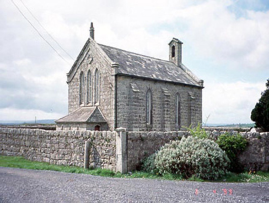 Kineagh Churchchurch/chapel · 1.1 mi
 Church (in ruins), Cross, GraveyardChurch · 1.2 mi
 Cross (present location) in UnknownCross (present location) · 1.2 mi
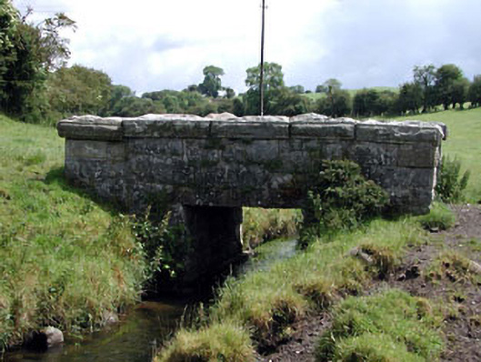 foot bridgefoot bridge · 1.5 mi
 CastleCastle, unclassified · 1.5 mi
 Duckett's GroveHeritage attraction · 1.7 mi
 Cork oakCork oak · 2.2 mi
 Church (in Ruins), GraveyardChurch · 2.3 mi
 European YewEuropean Yew · 2.4 mi
 Franciscan FriaryHeritage attraction · 2.7 mi
Other information
Photo: Credit not shown in the picture search · Rights wording not checked; contact us if this picture should be removed