
What is recorded here
Castle, unclassified stood downstream from the nunnery Walter de Ridlesford founded near 1200, but nobody now knows which river bank held it. It disappeared before 1783, its stones scattered into nearby walls and roads, while three mouldings still sit inside the local mill. The castle may have been a guard post, a household trap, or a forgotten anchor for the whole valley.
Located downstream from the nunnery founded by Walter de Ridlesford c. 1200 (KD040-015----). It was levelled prior to 1783, but until recently the ruins were used as a source of building material (FitzGerald 1914, 380-1). If it was not situated on the N side of the river (Graney West townland), it may have been on the S side, which would place it in Coltstown townland. The nearby mill (KD040-043----) contains three pieces of mouldings from either the nunnery or the castle.
Compiled by: Gearóid Conroy
The monument record does not grant public access. Check the route and ask the landowner before entering private land.
- What survives
- Recorded monument
Places near here
 Holy well in Graney EastHoly well · 488 yd
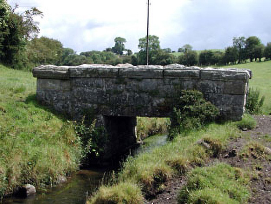 foot bridgefoot bridge · 527 yd
 Cross in KnockpatrickCross · 548 yd
 Nunnery (in Ruins)Religious house, Augustinian, of Arrouaise nuns · 651 yd
 Partially OutlinedCastle, unclassified · 1.7 mi
 Castledermot Round TowerHeritage attraction · 1.9 mi
 OutlinedCastle, unclassified · 1.9 mi
 Franciscan FriaryHeritage attraction · 1.9 mi
 ProclamationMemorial · 2.2 mi
 Church (in ruins), Cross, GraveyardChurch · 2.4 mi
 European ashEuropean ash · 3.0 mi
 Cork oakCork oak · 3.4 mi
Other information
Photo: Credit not shown in the picture search · Rights wording not checked; contact us if this picture should be removed