What is recorded here
On low-lying pasture land. Large circular area (diam 53.4m N-S) enclosed by an earthen bank (int. H varies 1.75m to 2.25m; ext. H 3.5m; Wth 3.5m) and outer fosse (Wth 2.8m) which has a stream diverted into the intervening fosse. The inner bank is severely degraded at the NW and SE. No entrance feature visible. Site appears to have been landscaped.
The above description is derived from the published 'Archaeological Inventory of County Offaly' (Dublin: Stationery Office, 1997). In certain instances the entries have been revised and updated in the light of recent research.
Date of upload: 23 May 2011
The monument record does not grant public access. Check the route and ask the landowner before entering private land.
- What survives
- Recorded monument
Places near here
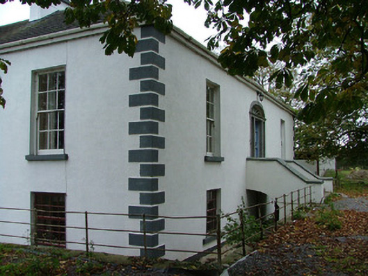 Annaghvillacountry house · 383 yd
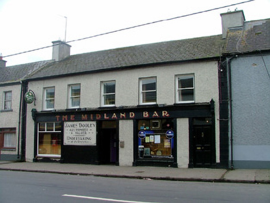 The Midland Barhouse · 1187 yd
 Mound in Park (ballyboy By.)Mound · 1233 yd
 Man-made underground passage in Ballylonnan (ballyboy By.)Man-made underground passage · 1235 yd
 Graveyard in Ballyboy (ballyboy By.)Graveyard · 1530 yd
 Arthur's WellSpring · 1.0 mi
 MoatCastle, motte and bailey · 1.0 mi
 Knockhill GroveWood · 1.2 mi
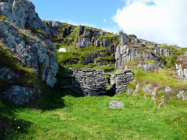 Saint Cormac's WellSpring · 1.8 mi
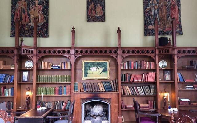 Broughal CastleCastle, unclassified · 2.0 mi
 Beach ClumpWood · 2.1 mi
 Troy's Island or DerryheeraghMountain / peak · 2.8 mi