What is recorded here
Located on a slight rise in undulating countryside with river to the N. Small flat topped conical shaped mound (H 3.5m; top diam 12m approx.; base diam 22m) which is badly disturbed on all sides by the insertion of a lime kiln at N and a field wall at S. There is evidence of circular wall made of roughly coursed limestone rubble with mortar on the summit of the motte. This may be associated with the lime kiln which is built into the N face of the motte. There is no clear evidence of a bailey surrounding the motte, however there is a raised area to the N of the motte where once according to local information there stood a castle (JKAS 1946-7, 16). This may be the original bailey area. This motte was used as a last refuge of defence by Williamate forces in September 1690. The Williamite chronicler, George Story, has left the following account of the attack on Ballyboy by the Jacobites: ‘another Party burnt Balliboy, a village 8 miles from Birr [recte 20 miles or 16.5km], wherein there was then six companies of the Earl of Drogheda’s Regiment, who finding themselves very much outnumbered, and the village no ways tenable, they retired all to a mount nigh the middle of the same village, which they defended till the Irish were obliged to quit the place, have killed us about 28, themselves leaving 16 dead upon the streets, besides several more that were killed in plundering the houses.’ (1693, 46) The mount referred to in the above account clearly is the motte (OF031-015002-). Revised by: Paul Walsh
Date of upload: 22 February 2018
Located on a slight rise in undulating countryside with river to the N. Small flat topped conical shaped mound (H 3.5m; top diam 12m approx.; base diam 22m) which is badly disturbed on all sides by the insertion of a lime kiln at N and a field wall at S. There is evidence of circular wall made of roughly coursed limestone rubble with mortar on the summit of the motte. This may be associated with the lime kiln…
From the National Monuments Service (Archaeological Survey of Ireland) record OF031-015002
The monument record does not grant public access. Check the route and ask the landowner before entering private land.
- What survives
- Recorded monument
Places near here
Photo credits
- National Inventory of Architectural Heritage
- Oliver Dixon, Wikimedia Commons · CC BY-SA 2.0
- Jonathan Thacker, Geograph · Creative Commons Attribution-ShareAlike 2.0
- Zepherb, Wikimedia Commons · CC BY-SA 4.0
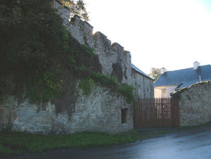 mill (water)146 yd
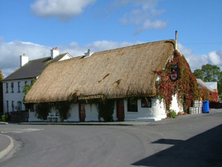 house, public house178 ydGraveyard in Ballyboy (ballyboy By.)Graveyard · 294 ydKnockhill GroveWood · 1.0 miArthur's WellSpring · 1.5 miTroy's Island or DerryheeraghMountain / peak · 2.1 miKillooley CastleCastle · 2.4 miThe Offaly WayWalking route · 2.4 miBeach ClumpWood · 2.5 mi
 Lough Boora Sculpture ParkMuseum · 3.3 mi
 ToberlugnaHoly well · 4.2 mi
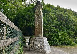 Stone CrossCross, High cross (present location) · 5.0 mi
More castles and forts in County Offaly · All of County Offaly
What do you know about this place?