What is recorded here
Not visible at ground level. There are substantial remains of out-buildings and part of 19th-century gothick style bawn near site of castle. The castle was demolished in the 1930's. Chief seat of the Molloy's (Cooke 1875, 234-5). Depicted in the Kings County Chronicles as a tall rectangular tower with crenellated wall walk and gabled roof. (Loeber 1988 vol. 2, 9-11)
The above description is derived from the published 'Archaeological Inventory of County Offaly' (Dublin: Stationery Office, 1997).
From the National Monuments Service (Archaeological Survey of Ireland) record OF031-006
The monument record does not grant public access. Check the route and ask the landowner before entering private land.
- What survives
- Recorded monument
Places near here
Photo credits
- National Inventory of Architectural Heritage
- Oliver Dixon, Wikimedia Commons · CC BY-SA 2.0
- Mike Searle, Geograph · Creative Commons Attribution-ShareAlike 2.0
- ., Wikimedia Commons · CC BY-SA 4.0
- Eric Jones, Geograph · CC BY-SA 2.0
- Jonathan Thacker, Geograph · Creative Commons Attribution-ShareAlike 2.0
Beach ClumpWood · 879 ydSaint Cormac's WellSpring · 1321 ydArthur's WellSpring · 1.0 mi Franckford HouseHouse · 1.2 miSouthavenHouse · 1.3 miGraveyard in Ballyboy (ballyboy By.)Graveyard · 2.5 miLough Boora Sculpture ParkMuseum · 2.5 miGrave YardGraveyard · 5.1 miCoole CastleCastle, tower house · 5.2 miCoole CastleCastle · 5.2 miCloghan HillMountain / peak · 5.2 miToberlugnaHoly well · 6.1 mi
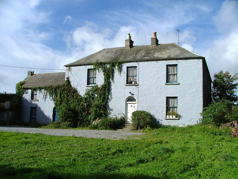 Franckford HouseHouse · 1.2 mi
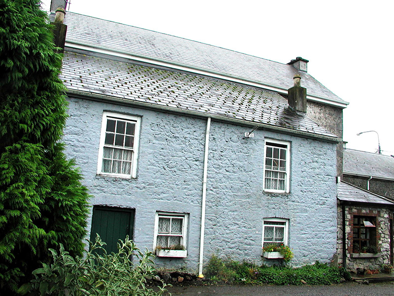 SouthavenHouse · 1.3 miGraveyard in Ballyboy (ballyboy By.)Graveyard · 2.5 mi
 Lough Boora Sculpture ParkMuseum · 2.5 mi
 Grave YardGraveyard · 5.1 mi
 Coole CastleCastle, tower house · 5.2 mi
 Coole CastleCastle · 5.2 mi
 Cloghan HillMountain / peak · 5.2 mi
 ToberlugnaHoly well · 6.1 mi
More castles and forts in County Offaly · All of County Offaly
What do you know about this place?