What is recorded here
Ballinreeshig holds a circular earthen ringfort on a south-east facing slope, its two banks and central ditch still visible beneath rough pasture. People called it a fairy fort, perhaps because the shape appeared sudden or the land felt occupied when empty. A human hand built the ridge, yet the name suggests the ridge refused to leave memory alone.
In rough pasture, on SE-facing slope. Circular, slightly raised area (38.5m N-S) defined by two earthen banks with intervening fosse SSW->NE; inner bank SE->SSW survives as low rise. Outer bank incorporated into field fence system SSW->W.
The above description is derived from the published 'Archaeological Inventory of County Cork. Volume 2: East and South Cork' (Dublin: Stationery Office, 1994). In certain instances the entries have been revised and updated in the light of recent research.
Date of upload/revision: 14 January 2009
The monument record does not grant public access. Check the route and ask the landowner before entering private land.
- What survives
- Recorded monument
Places near here
 KilnKiln, lime · 902 yd
 Lios (Ring Fort)Archaeological place · 912 yd
 IndicatedEnclosure · 946 yd
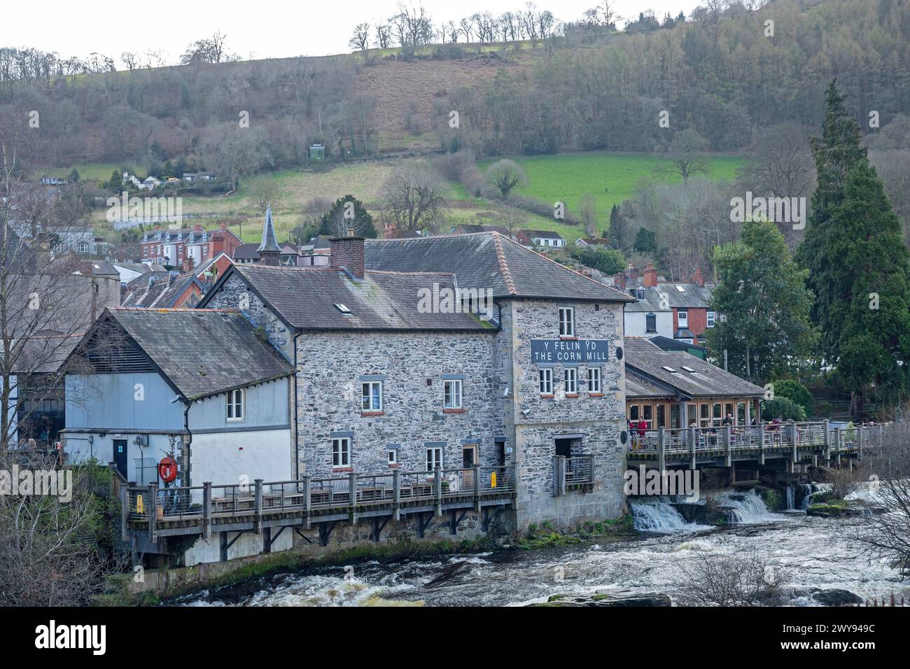 Corn Mill (in Ruins)Mill, corn · 1092 yd
 Ballea CastleCastle, tower house · 1403 yd
 Pauper's GraveyardArchaeological place · 1.6 mi
 Castle Treasure (Site of)Castle, unclassified · 1.9 mi
 Cork WalksVisitor information · 5.1 mi
 Lavitts QuayMemorial · 5.2 mi
 Mount Hillary - Knightfield LoopWalking route · 27 mi
 Ballea Bridge (Upper)bridge · 1188 yd
 Burnt spread in BallinreaBurnt spread · 1368 yd