What is recorded here
Fairy fort in Balleek, County Offaly: a worn earth-and-stone ring, thirty metres wide, set on an esker ridge with wide views. It may have had two banks and a causewayed entrance at the northwest, though time has softened most of that shape. People may have lived there, marked territory, or simply watched the sky from a high place. What remains is enough to suggest pride, patience and presence.
Situated on an esker ridge in undulating countryside with extensive views in all directions. Poorly preserved ringfort consisting of a circular area (30m E-W; 27m N-S) enclosed by an earth and stone bank (Wth 1m; ext. H 0.5m) with clear evidence of stone revetment in its construction. Possible remains of a causewayed entrance at NW. There is slight evidence for an enclosing fosse and external bank however its poor condition makes it difficult to be certain. Originally the site would appear to be a bivallate ringfort with a causeway entrance at NW.
The above description is derived from the published 'Archaeological Inventory of County Offaly' (Dublin: Stationery Office, 1997). In certain instances the entries have been revised and updated in the light of recent research.
Date of upload: 23 May 2011
The monument record does not grant public access. Check the route and ask the landowner before entering private land.
- What survives
- Recorded monument
Places near here
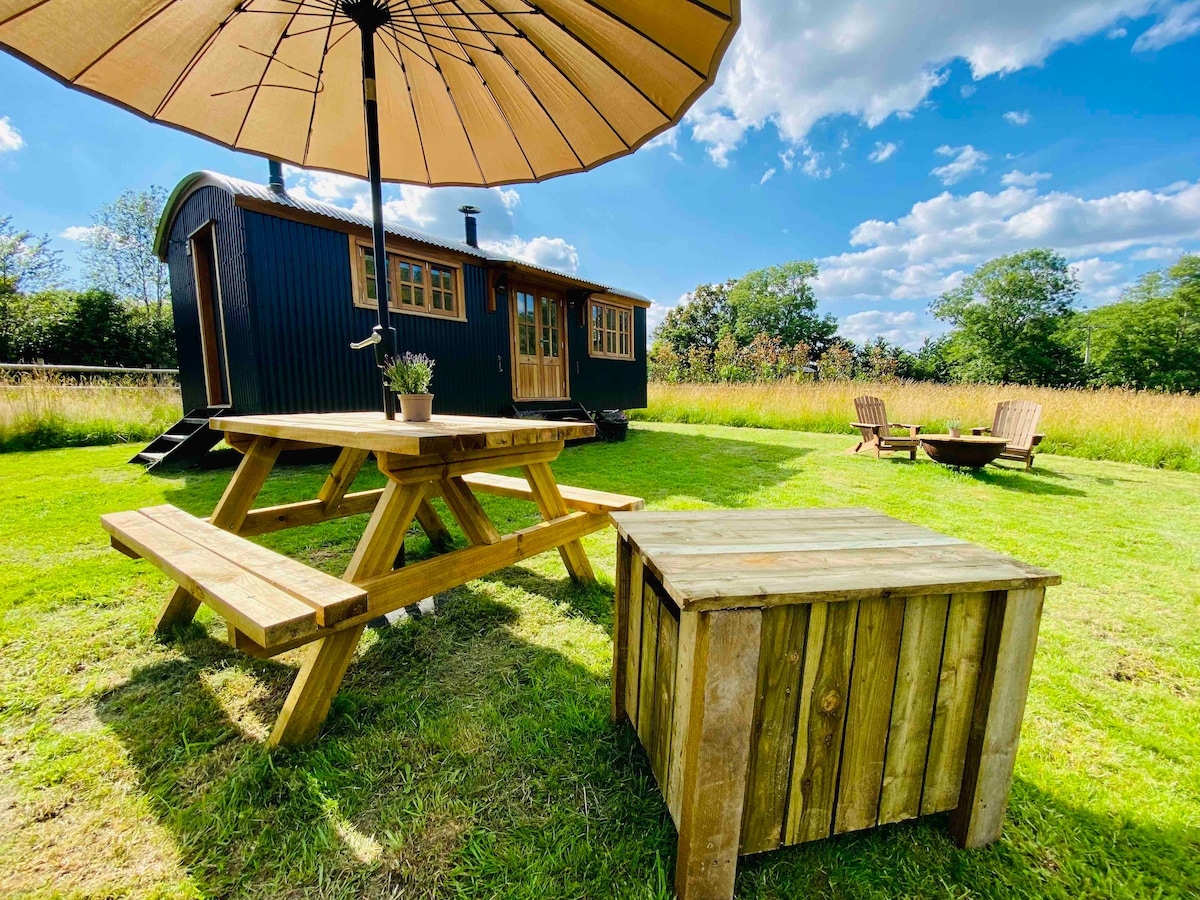 Hut site in BalleekHut site · 171 yd
 BarrowBarrow, ring-barrow · 660 yd
 Shancourt or MeeneglishCastle, unclassified · 1.2 mi
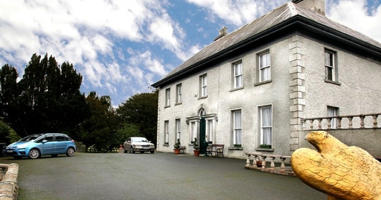 Ballybought HouseRuins · 1.2 mi
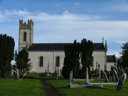 Saint Columba's Catholic Churchchurch/chapel · 1.2 mi
 Durrow HillMountain / peak · 1.3 mi
 Castle (in ruins)House, fortified house · 1.4 mi
 St. Columba's WellSpring · 1.5 mi
 Bracklin WoodWood · 1.8 mi
 High WoodWood · 1.8 mi
 Bonfire HillMountain / peak · 2.2 mi
 Grand Canal WayWalking route · 3.2 mi