
What is recorded here
On natural low hillock in undulating countryside. Barrow which is partially destroyed from N to E where its inner fosse and external bank have been totally destroyed. From the surviving evidence the site consists of a low mound of uneven surface (H 1.5m; diam. 11m E-W) enclosed by an inner fosse (Wth 2m; ext. D 0.2m) with external bank (Wth 2.5m; ext. H 0.5m).
The above description is derived from the published 'Archaeological Inventory of County Offaly' (Dublin: Stationery Office, 1997). In certain instances the entries have been revised and updated in the light of recent research.
Date of upload: 23 May 2011
A ring-barrow, likely dating to the Early Bronze Age, associated with burial practices in Atlantic Europe. Its partial destruction limits understanding of its original structure and wider significance.
The monument record does not grant public access. Check the route and ask the landowner before entering private land.
- What survives
- Recorded monument
Places near here
 Hut site in BalleekHut site · 830 yd
 Burial ground in Ballynamona (ballycowan By.)Burial ground · 1721 yd
 Lowertown Bridgebridge · 1.2 mi
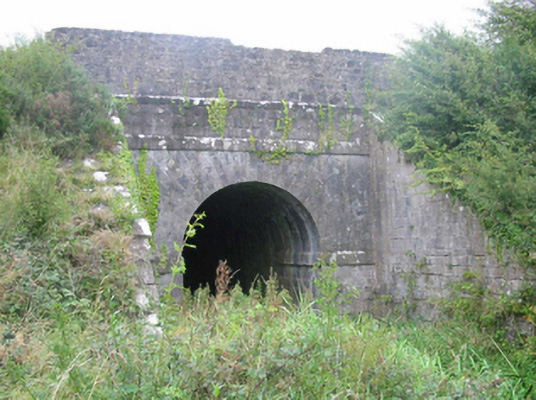 aqueductaqueduct · 1.3 mi
 Castle (in ruins)House, fortified house · 1.4 mi
 Shancourt or MeeneglishCastle, unclassified · 1.4 mi
 Durrow HillMountain / peak · 1.4 mi
 Bracklin WoodWood · 1.5 mi
 St. Columba's WellSpring · 1.9 mi
 Bonfire HillMountain / peak · 1.9 mi
 High WoodWood · 2.1 mi
 Grand Canal WayWalking route · 3.3 mi
Other information
Photo: Credit not shown in the picture search · Rights wording not checked; contact us if this picture should be removed