What is recorded here
Marianne and the others watched the chamber darken, not empty. They had built the chamber to show that the room could still be seen, remember that it existed and invite the woman back into the story. They had not understood that the chamber was also a trap. It could take her memories, her heat and her life.
The following description is derived from both the published 'Archaeological Inventory of County Louth' (Dublin: Stationery Office, 1986) and the 'Archaeological Survey of County Louth' (Dublin: Stationery Office, 1991). In certain instances the entries have been revised and updated in the light of recent research.
Date of upload/revision: 17 July 2007
Large bivallate ringfort almost totally destroyed by modern field fences, roadway and house.
The monument record does not grant public access. Check the route and ask the landowner before entering private land.
- What survives
- Recorded monument
Places near here
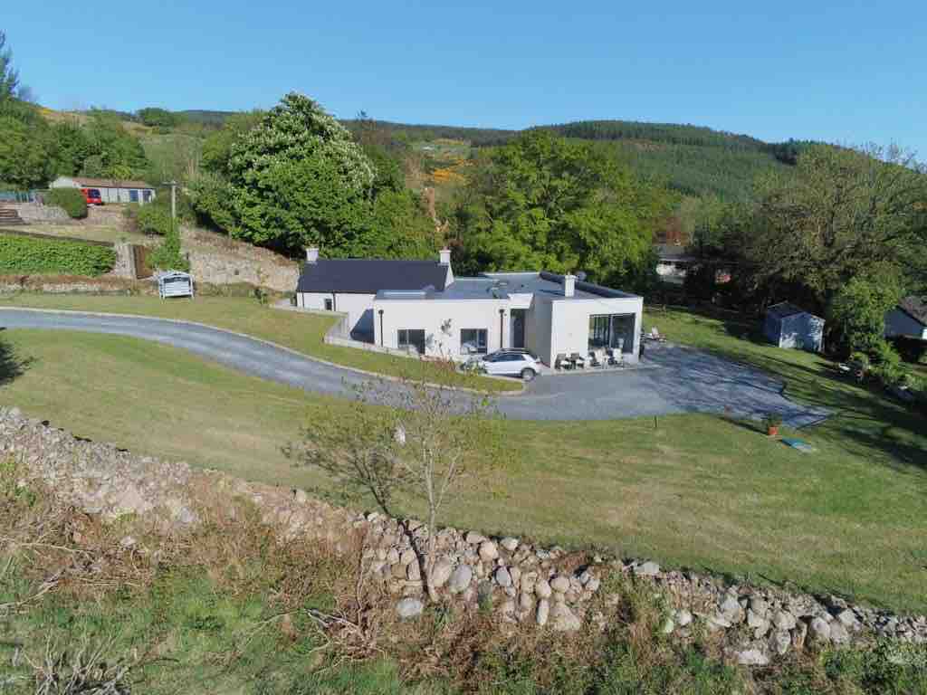 Enclosure in BallavertyEnclosure · 156 yd
 Enclosure in Mullaghattin (dundalk Lwr By; Carlingford Par.)Enclosure · 737 yd
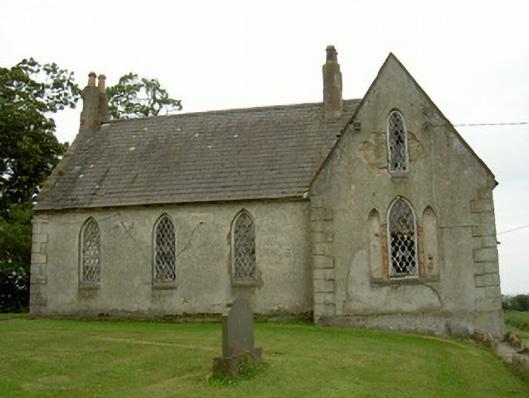 Saint Andrew's Church (Carlingford)school · 852 yd
 The BushPicnic place · 912 yd
 Castletown Househouse · 1141 yd
 Cooley CastleCastle, tower house · 1199 yd
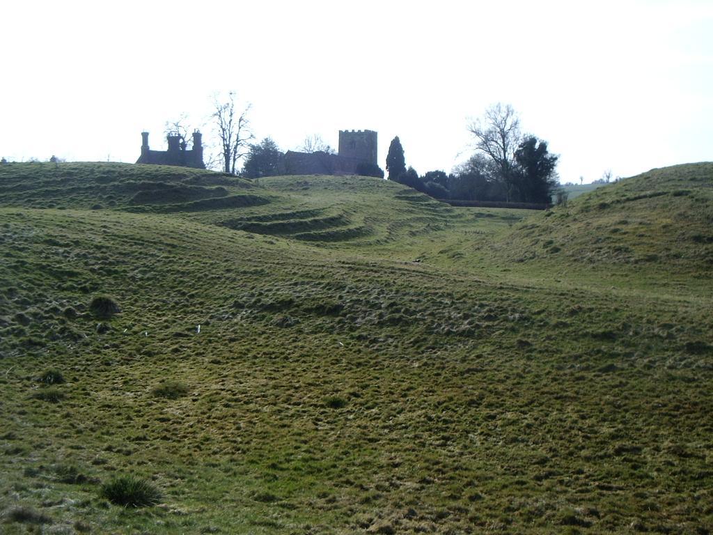 CastleCastle, motte · 1363 yd
 Grange UpperMountain / peak · 1611 yd
 BarnavaveMountain / peak · 1.9 mi
 Carlingford - Loop 1A- Commons LoopWalking route · 2.6 mi
 Graveyard in Liberties OF CarlingfordGraveyard · 2.8 mi
 Carlingford Heritage CentreVisitor information · 2.8 mi