What is recorded here
Ardra holds a faint circular scar, thirty-four metres across on a south-facing slope, where grass still marks the ghost of a wall. Men may have lived there before records, or fairies may have danced in the dark while humans slept elsewhere. The earth remembers shapes even when tools forget their names.
Shadow site (CASAP) shows circular enclosure. In pasture, on S-facing slope. Roughly circular area (34m N-S; 28m E-W) defined by slight rise.
The above description is derived from the published 'Archaeological Inventory of County Cork. Volume 2: East and South Cork' (Dublin: Stationery Office, 1994). In certain instances the entries have been revised and updated in the light of recent research.
Date of upload/revision: 14 January 2009
The monument record does not grant public access. Check the route and ask the landowner before entering private land.
- What survives
- Recorded monument
Places near here
 Burial Ground (Disused)Burial ground · 383 yd
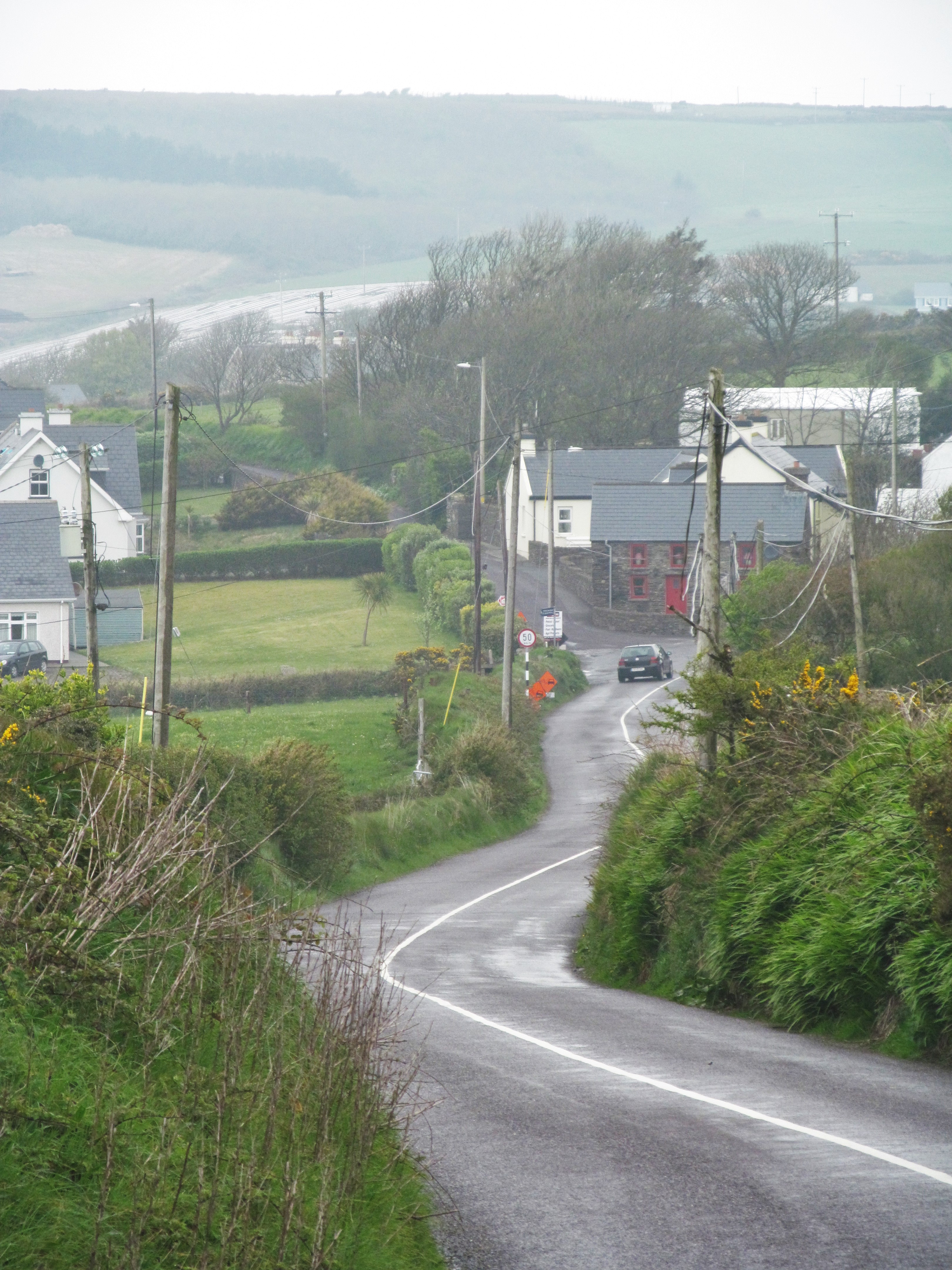 IndicatedFairy fort / earthen ringfort · 506 yd
 KilnKiln, lime · 734 yd
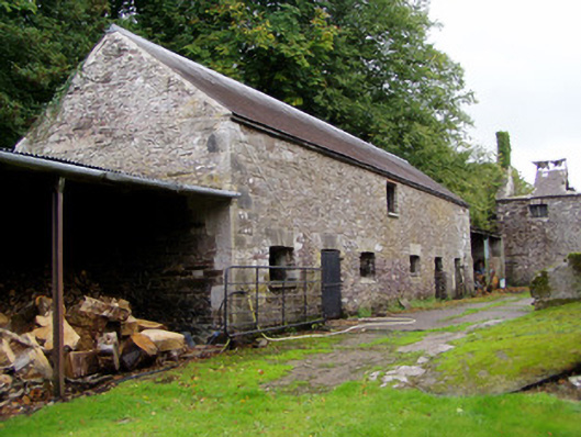 Ballyvolane Housefarmyard complex · 1574 yd
 Castle (Site of)Castle, unclassified · 1.7 mi
 Graveyard in KillasseraghGraveyard · 1.8 mi
 Aghern CemeteryWood · 2.3 mi
 Castle (in Ruins)Castle, tower house · 2.4 mi
 Castlebrook forestWood · 3.9 mi
 Rathcormac massacremassacre · 4.1 mi
 Coole WellVisitor information · 4.1 mi
 Salt HillMountain / peak · 4.3 mi