What is recorded here
Magic fort, Ardra, County Cork. Circular earthworks, gaps north and west, two vanished forts nearby. People lived, left marks, departed. Land remembers shape, not names.
In pasture, on level ground, good views in all directions. Circular area (33.3m N-S; 32.4m E-W) defined by poorly preserved earthen bank (H 0.9m), scarped to E (H 1m); bank replaced in parts by modern field fence. Gaps inbank to N, SW and NW. Interior slopes gently to N. Levelled ringforts c. 250m to W (CO045-091---) and c. 200m to E (CO045-093---).
The above description is derived from the published 'Archaeological Inventory of County Cork. Volume 2: East and South Cork' (Dublin: Stationery Office, 1994). In certain instances the entries have been revised and updated in the light of recent research.
Date of upload/revision: 14 January 2009
The monument record does not grant public access. Check the route and ask the landowner before entering private land.
- What survives
- Recorded monument
Places near here
 Burial Ground (Disused)Burial ground · 242 yd
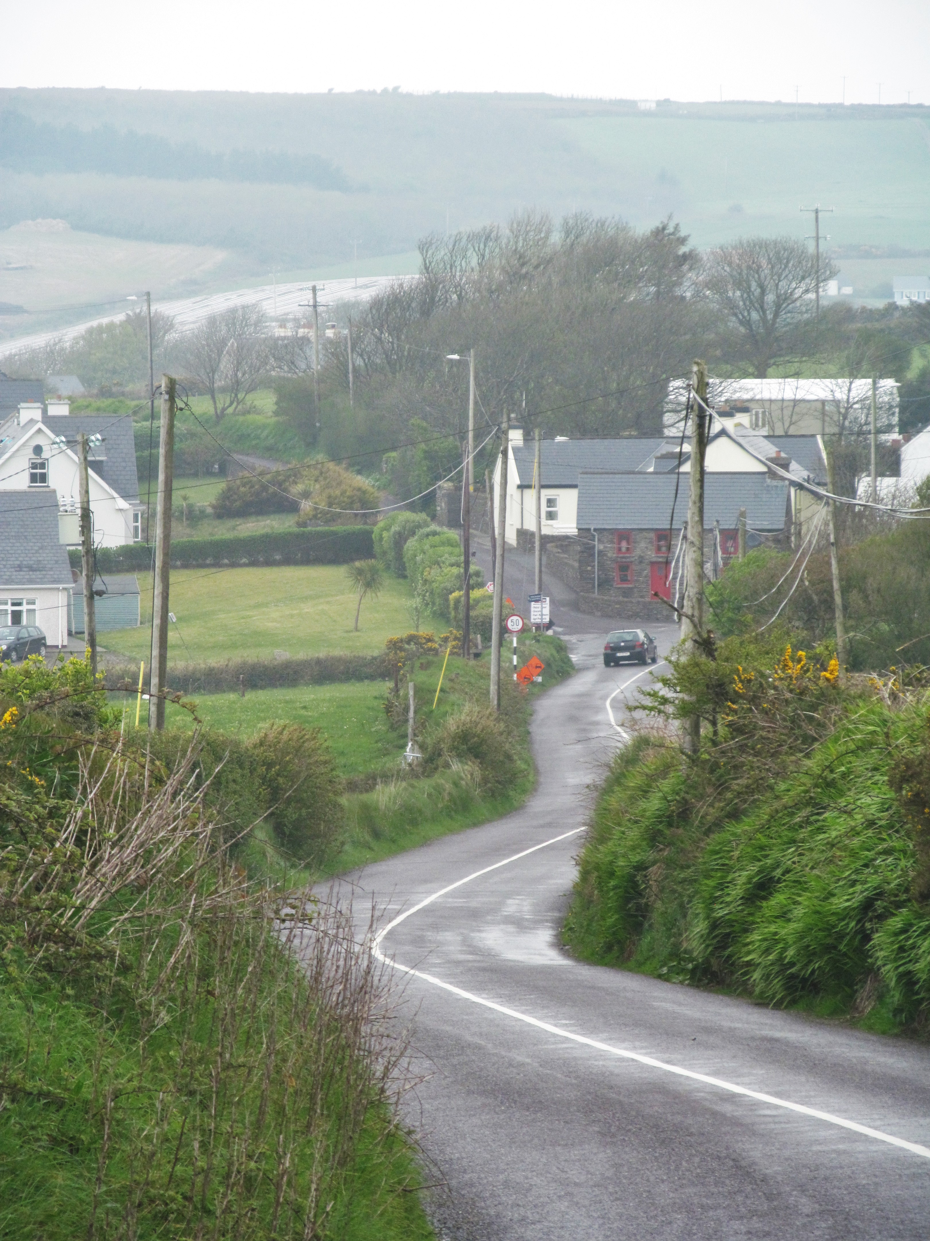 IndicatedFairy fort / earthen ringfort · 281 yd
 KilnKiln, lime · 970 yd
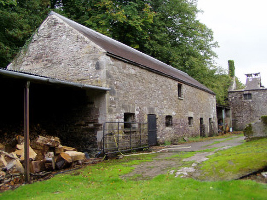 Ballyvolane Housefarmyard complex · 1320 yd
 Castle (Site of)Castle, unclassified · 1.6 mi
 Graveyard in KillasseraghGraveyard · 1.9 mi
 Castle (in Ruins)Castle, tower house · 2.3 mi
 Aghern CemeteryWood · 2.4 mi
 Rathcormac massacremassacre · 3.9 mi
 Castlebrook forestWood · 4.0 mi
 Coole WellVisitor information · 4.0 mi
 Salt HillMountain / peak · 4.4 mi