What is recorded here
No one knows who built the vanished Ardra ring, but the bog still holds the shape of a place people loved enough to mark. The fort has no wall, gate or hearth left for a camera, yet it resists forgetting because human hands once drew a line around ordinary ground and called the inside home.
On level boggy ground. Standing stone (CO045-090---) in field to SW; ringfort (CO045-092---) in field to E. Hachured as small circular enclosure (diam. c. 40m) on 1842 OS 6-inch map. No visible surface trace.
The above description is derived from the published 'Archaeological Inventory of County Cork. Volume 2: East and South Cork' (Dublin: Stationery Office, 1994). In certain instances the entries have been revised and updated in the light of recent research.
Date of upload/revision: 14 January 2009
The monument record does not grant public access. Check the route and ask the landowner before entering private land.
- What survives
- Recorded monument
Places near here
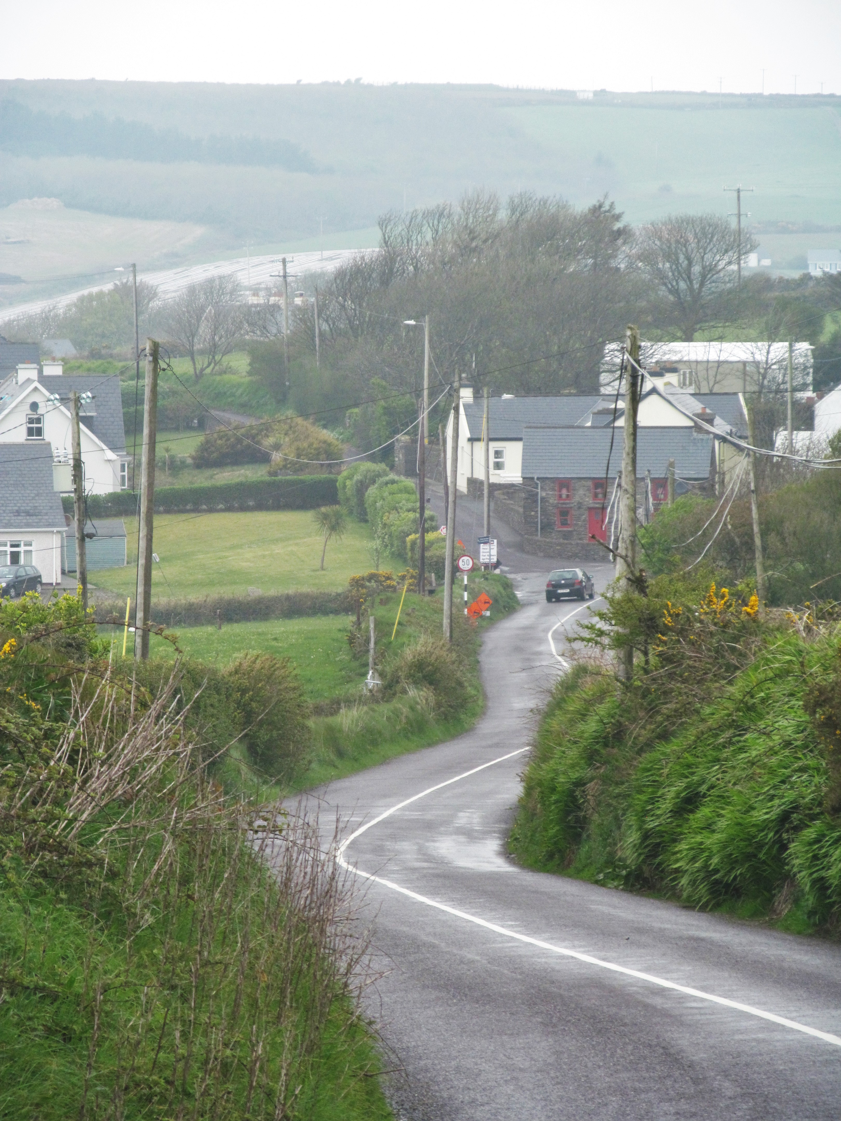 IndicatedFairy fort / earthen ringfort · 266 yd
 Burial Ground (Disused)Burial ground · 407 yd
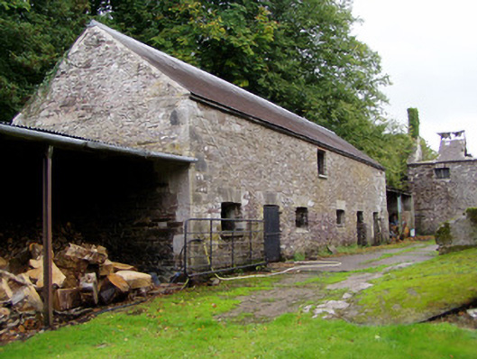 Ballyvolane Housefarmyard complex · 1034 yd
 KilnKiln, lime · 1244 yd
 Castle (Site of)Castle, unclassified · 1.5 mi
 Graveyard in KillasseraghGraveyard · 2.1 mi
 Castle (in Ruins)Castle, tower house · 2.4 mi
 Aghern CemeteryWood · 2.5 mi
 Rathcormac massacremassacre · 3.7 mi
 Coole WellVisitor information · 4.0 mi
 Castlebrook forestWood · 4.1 mi
 Salt HillMountain / peak · 4.6 mi