What is recorded here
Ardoghil holds a broken ringfort where a field boundary cuts through ancient defences. The western part vanished under ploughing, but the eastern edge still rises one metre above the pasture with a shallow ditch outside. Cattle graze across the remains now, indifferent to the people who built and abandoned the circle.
At the E edge of a low N–S ridge in pasture. Not indicated on the 1837 or 1887 editions of the OS 6-inch map. A report in 1976 (SMR file) indicated that this raised circular area was defined by a bank of earth and stone, an intervening fosse and traces of an outer bank. It is divided into roughly equal portions by a NNE–SSW field boundary. The area to the WNW of this has been levelled and is not visible at ground level, while that to the ESE is defined by a scarp (H 1m) with an external fosse (Wth 1.8m; D 0.5-0.8m). There is no visible surface trace of the outer bank and the original entrance is not recognisable.
Compiled by: Patrick F. O'Donovan
Date of upload: 23 November 2011
The monument record does not grant public access. Check the route and ask the landowner before entering private land.
- What survives
- Recorded monument
Places near here
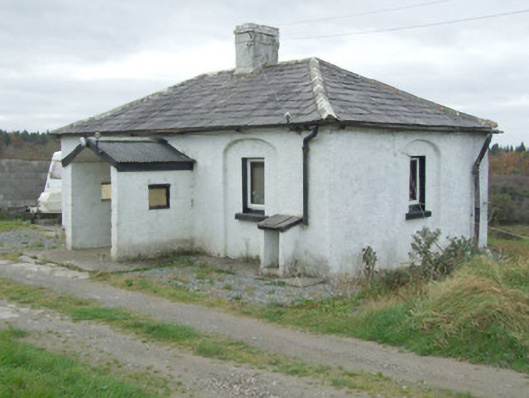 Mullawornia Locklock keeper's house · 1170 yd
 RoadRoad, gravel/stone trackway, peatland · 1565 yd
 Enclosure in MullaworniaEnclosure · 1.0 mi
 Tober PatrickHoly well · 1.2 mi
 Bawn in TirlickeenBawn · 1.6 mi
 CastleCastle, unclassified · 1.8 mi
 European BeechEuropean Beech · 2.5 mi
 Corlea Bog Walk Canal BranchWalking route · 2.8 mi
 Corlea Trackway Interpretative CentreHeritage attraction · 2.9 mi
 Corlea Bog Walk Blue LoopWalking route · 3.3 mi
 Leveret IslandIslet · 3.6 mi
 InchbofinIslet · 4.6 mi