
What is recorded here
This trackway (L 660m; Wth 0.6-9m; D 0.33-1.07m), orientated ENE-WSW, was visible at 43 sightings in a drain face across the SE portion of Edera Bog. It ran on a similar orientation and to the N of a togher (LF026-034----), the two separating further as they extended to the SW. The composition of the trackway varied somewhat along its length but it was generally composed of densely packed stone, marl and gravel. At some sightings brushwood was recorded below the gravel and stones, suggesting that it may have been laid down as a foundation. Radiocarbon dating revealed a date range of AD 690-880. (Rohan 2009, 108-15, LF-EDR001-)
Compiled by: Mary Tunney based on data supplied by Jane Whitaker, Archaeological Development Services.
Date of upload: 26 August 2011
A prehistoric gravel/stone trackway (tochtmara or togher), likely Bronze Age in date, used for seasonal passage across peatland. Its significance lies in demonstrating early land management and transport networks in wetland environments.
The monument record does not grant public access. Check the route and ask the landowner before entering private land.
- What survives
- Recorded monument
Places near here
 CastleCastle, unclassified · 1611 yd
 OutlinedCastle, unclassified · 1.4 mi
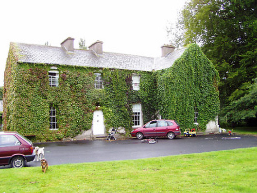 Shrule Gleberectory/glebe/vicarage/curate's house · 1.5 mi
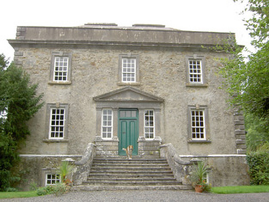 Ledwithstown Househouse · 1.5 mi
 IndicatedFairy fort / earthen ringfort · 1.7 mi
 Crannog in DoonisCrannog · 1.9 mi
 Leveret IslandIslet · 2.8 mi
 Corlea Bog Walk Canal BranchWalking route · 3.4 mi
 Corlea Trackway Interpretative CentreHeritage attraction · 3.5 mi
 Corlea Bog Walk Blue LoopWalking route · 3.7 mi
 InchbofinIslet · 3.8 mi
 Pollagh BayBay · 4.7 mi
Other information
Photo: Credit not shown in the picture search · Rights wording not checked; contact us if this picture should be removed