What is recorded here
Fairy fort / earthen ringfort in Arbourhill (Magorban parish), clonbrogan is a fairy fort or earthen ringfort in Arbourhill (Magorban parish), clonbrogan, County Tipperary, Ireland. It occupies high ground on the edge of a southeast-facing slope in undulating terrain. A roughly circular enclosure measures 26 metres north-south and 28 metres east-west, bounded by an earthen and stone bank 6.2 metres wide and an outer ditch 1.9 metres wide. The bank and ditch remain well preserved from the east through the south to the west, while the northern section has been absorbed into an east-west field boundary.
On the edge of a SE-facing slope on high ground in undulating terrain, under grass. Roughly circular enclosure (diam. 26m N-S; 28m E-W) defined by an earthen and stone bank (Wth 6.2m; int. H 0.32m; ext. H 1.15m) and outer fosse (Wth 1.9m; D 0.72m) which is well-preserved from E-S-W. Bank in N quadrant has been incorporated in a field boundary (Wth 3.67m; int. H 1.32m; ext. H 1.56m) running E-W with ditch (Wth 1.2m; D 0.19m) dug along interior of ringfort at base of bank. In the SSW quadrant the bank has been reduced to scarp and pushed into the fosse. A field boundary runs N-S along the outer edge of the fosse in the E quadrant. A gap (Wth 1.8m) in the NE quadrant gives access to a farm gate in the E-W field boundary. Clean, grass-covered ringfort with some trees on the bank.
Compiled by: Jean Farrelly
Date of upload: 26 August 2011
The monument record does not grant public access. Check the route and ask the landowner before entering private land.
- What survives
- Recorded monument
Places near here
 St. Brogans WellHoly well · 343 yd
 Arbourhill Ho.House, 17th century · 507 yd
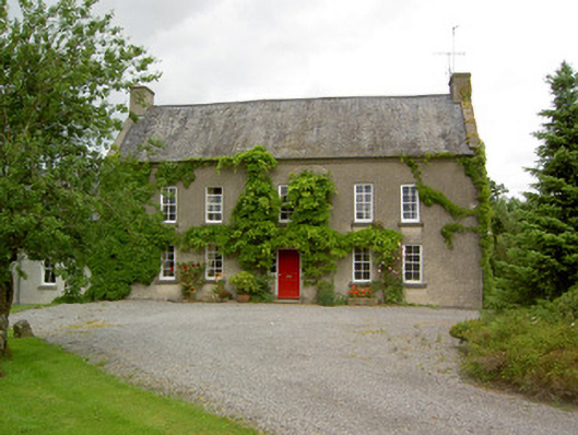 Clonbrogan Househouse · 652 yd
 Concentric enclosure in WoodhouseConcentric enclosure · 1017 yd
 CastleCastle, ringwork · 1.0 mi
 Site of CastleCastle, unclassified · 1.7 mi
 Noan WoodWood · 2.4 mi
 Taylor's WoodWood · 2.5 mi
 Ballinure HillMountain / peak · 3.0 mi
 Kilknockan HillMountain / peak · 3.7 mi
 East GateMemorial · 4.6 mi
 Gobban Saer's GraveArchaeological place · 4.9 mi